Land Access
With your cooperation, the ABMI is able to monitor and report on the status and trends of Alberta’s species, habitats, and human footprint.
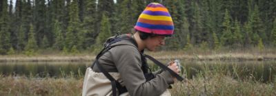
We monitor hundreds of sites across Alberta every year and need permission from landowners because a lot of land is privately held. We work together with landowners to ensure the integrity of their land is maintained and collect the best quality data possible. This requires planning and logistics of field based monitoring.
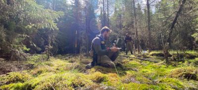
Because the locations of the ABMI’s survey sites are random, we survey different habitats and land use types (such as agricultural fields, forestry cut blocks, and protected areas) in proportion to their occurrence in the province. By collecting data this way, the ABMI is able to identify key relationships between different types of land use and biodiversity.
Monitoring changes in biodiversity across Alberta provides Albertans with the reliable, scientific information necessary to make informed decisions about land use and the management of our natural resources.
The ABMI surveys a grid of randomly selected sites across all of Alberta, spaced approximately 20 km apart.
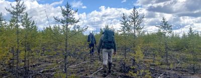
We survey randomly selected terrestrial and wetland locations at each of our 1,656 monitoring sites.
We work together with landholders to obtain access to private or leased land in 5 simple steps.
Landholders are sent a customized package with site-specific data, information on ABMI protocols and monitoring methods, species profiles, and photos from wildlife cameras.
.jpg)
The ABMI’s site confidentiality policy exists to ensure the scientific integrity of sites we visit multiple times and to protect the privacy of landholders in Alberta.
Have questions? We have some answers.