Site Locations
The ABMI surveys a grid of randomly selected sites across all of Alberta, spaced approximately 20 km apart.
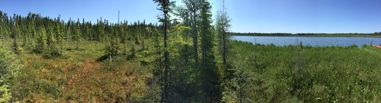
Each site consists of two locations: a terrestrial site and a nearby wetland.
We survey all land types in Alberta including:
- Public and recreational lands,
- Industry lands (energy, forestry, and agriculture),
- Private rural lands and grazing leases,
- First Nations and Métis lands,
- Provincial and federal protected areas, and
- Urban and municipal lands.
Surveying all land types in Alberta allows us to identify the relationships between human land use and biodiversity. It also lets us track Alberta’s changing biodiversity and landscapes.
The ABMI’s sites are randomly selected using a 20 km by 20 km grid across the whole province. This type of survey design is known as systematic random sampling. By randomly selecting our survey locations across the province, each land type—and its biodiversity—has an equal chance (probability) of being surveyed. If a land type is more common in an area (e.g., agriculture in Southern Alberta), it is more likely to be surveyed. This allows us to survey different land types in Alberta in relation to their distribution to accurately assess the status and trends in biodiversity and human footprint.
Also, it’s not always about finding something! By randomly selecting our sites, we end up surveying a lot of different land types. This means we might do our surveys in a parking lot! Knowing where we don’t see things is important to understanding the relationship between species and their habitats. Plus, you never really know what you might find until you go out and look for it!
