Surveying Private and Leased Land
STEP 1: Contact
STEP 2: Follow-up
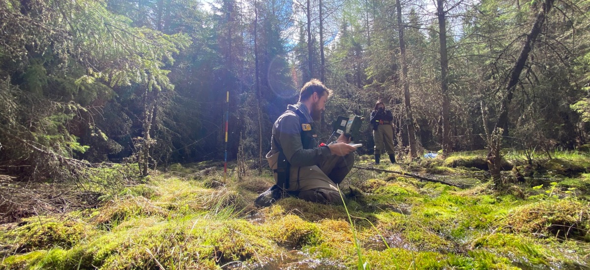
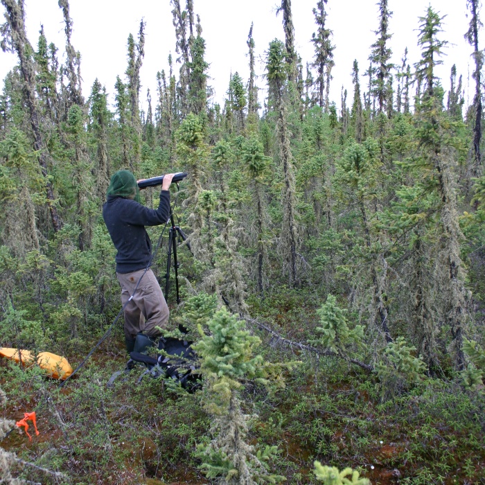
STEP 3: Surveys
STEP 4: Information Package
STEP 5: Follow-up Surveys
The process begins with a call from the ABMI access manager to the landholder during the fall or winter before the field season. Landholders receive an introduction to the ABMI’s monitoring program and are invited to contact the access manager if they are interested in a more in-depth discussion about the monitoring program.
Following initial contact, a follow-up email or phone call is scheduled for the access manager to show landholders the area we’re interested in visiting, explain data protocols, and go over any access instructions the landholder may have (e.g., preferred access routes to the survey location).
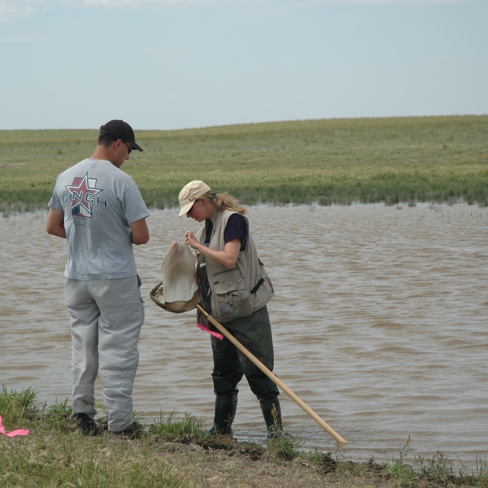
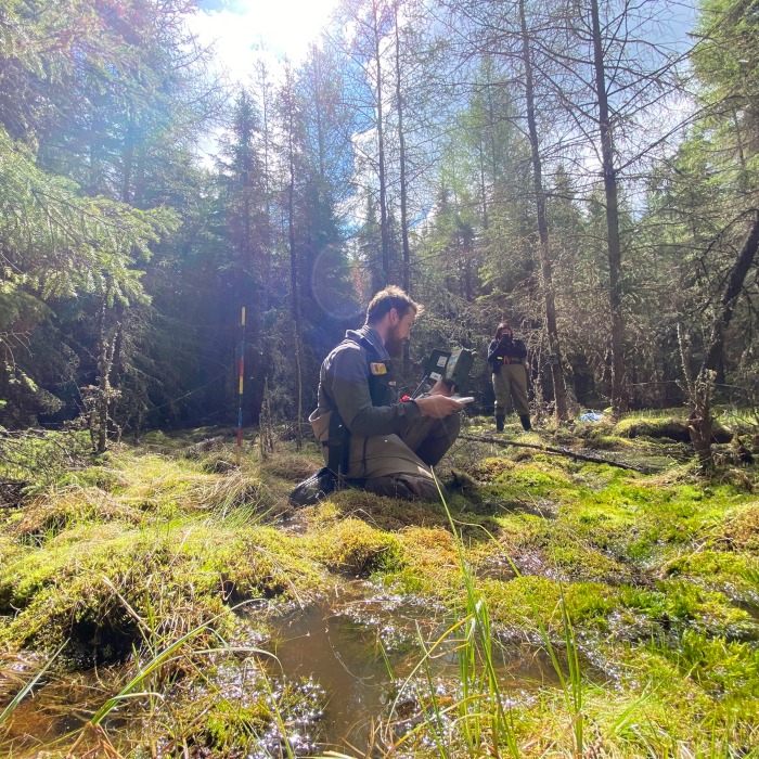
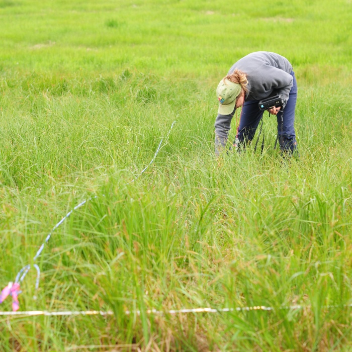
If permission to survey the site is granted, landowners can expect a team of two to three field staff to access their land two to three times throughout the season. Land survey sites generally include an eight-hour visit in May or June and a second eight-hour visit in June or July. At forested sites, field crews may make a preliminary visit in May to mark the site location with flagging tape to make future surveying visits easier, if permitted. Generally, wetland survey sites include a one-hour visit in June and an eight-hour visit in July.
Field staff always follow strict access rules that were agreed upon with landholders (See our Access Guide.) Landholders will be notified a few days prior to our visits and will have the opportunity to confirm or alter access instructions as necessary.
When accessing industry-related sites, the access manager will work with company safety officers to ensure our crews have the appropriate safety training, equipment, and site orientations to meet all site-specific requirements.
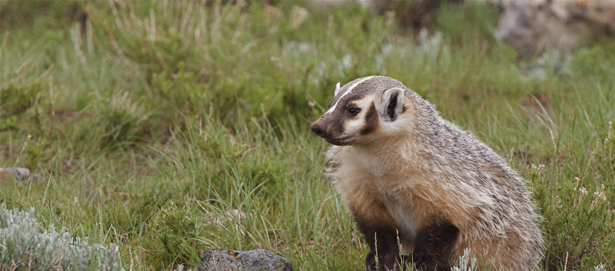
Approximately one year after the survey has wrapped up, landholders will receive an information package describing the data collected on their land. This includes a list of bird, mammal, and plant species, as well as some habitat measurements like soil chemistry or water depth. If the ABMI has set up a wildlife camera and autonomous recording unit, the landholder will also receive access to these photos and recordings.

To measure changes in biodiversity and human land use over time, the ABMI relies on re-accessing site locations several years in the future. The ABMI will always acquire landholder permission before accessing land.