Survey Types and Methods
What is a Biodiversity Survey?
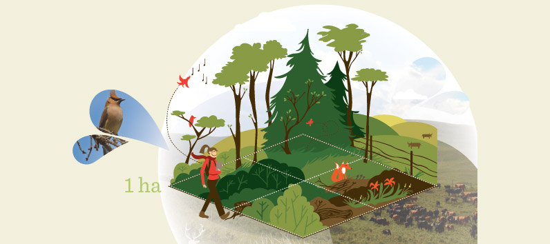
We survey randomly selected terrestrial and wetland locations at each of our 1,656 monitoring sites. Surveys are conducted by two to three field staff who identify species, take habitat measurements, and observe land use and disturbances. The ABMI monitors at both terrestrial and wetland sites.
Terrestrial (Land) Surveys
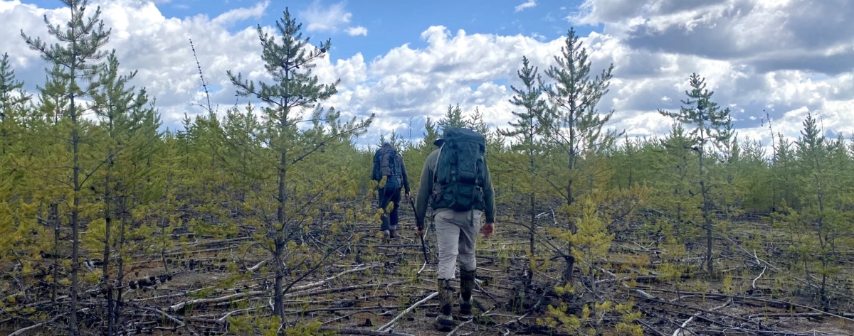
ABMI terrestrial survey sites are visited two to three times throughout the field season. Our crews start field work in the fall and continue through to mid-summer.
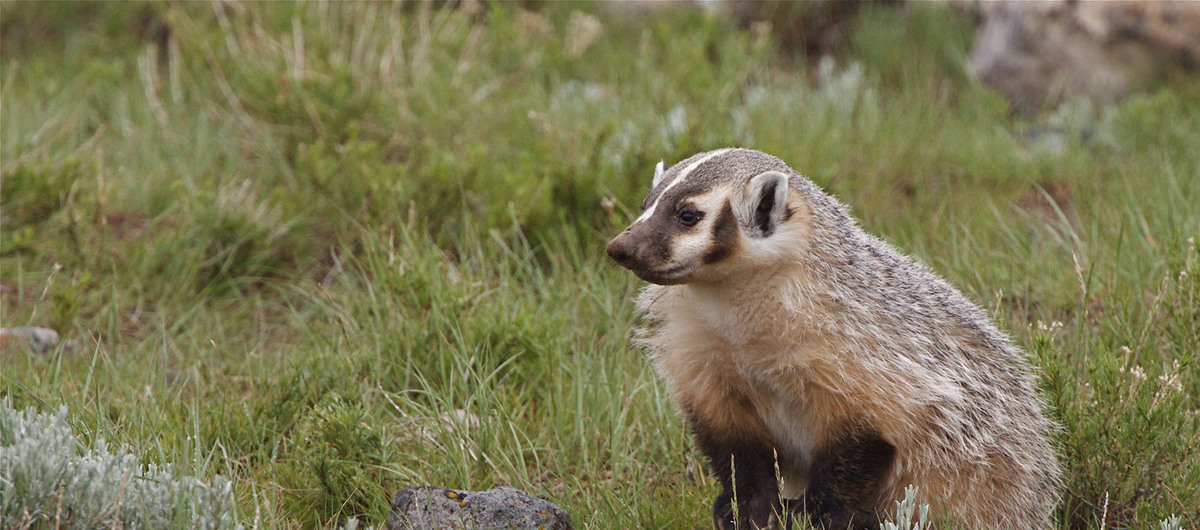
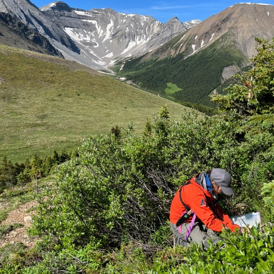
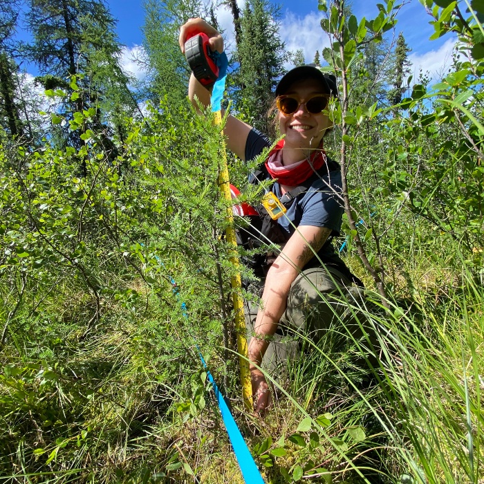
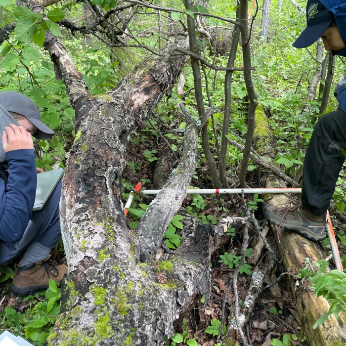
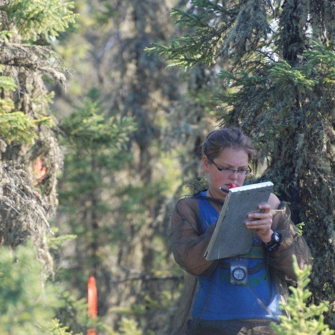
A range of terrestrial protocols are carried out in each of the four quadrants (northeast, southeast, southwest, and northwest) of the 100 m x 100 m (1 ha) terrestrial site. Sightings of birds, mammals, and amphibians are also noted during each site visit.
Wetland Surveys
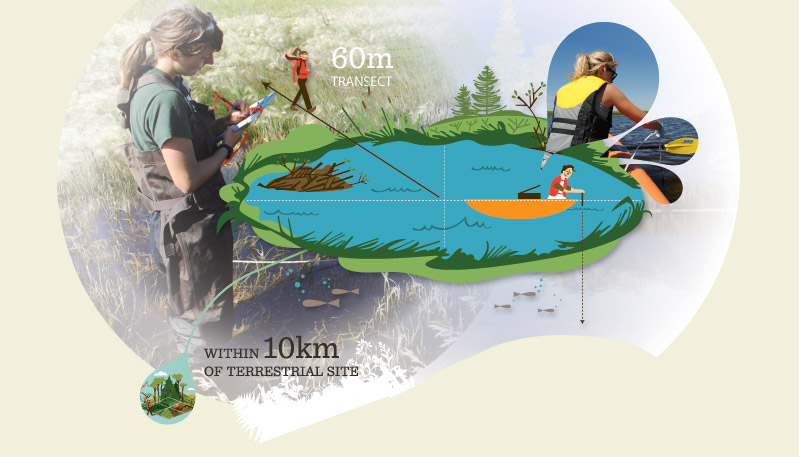
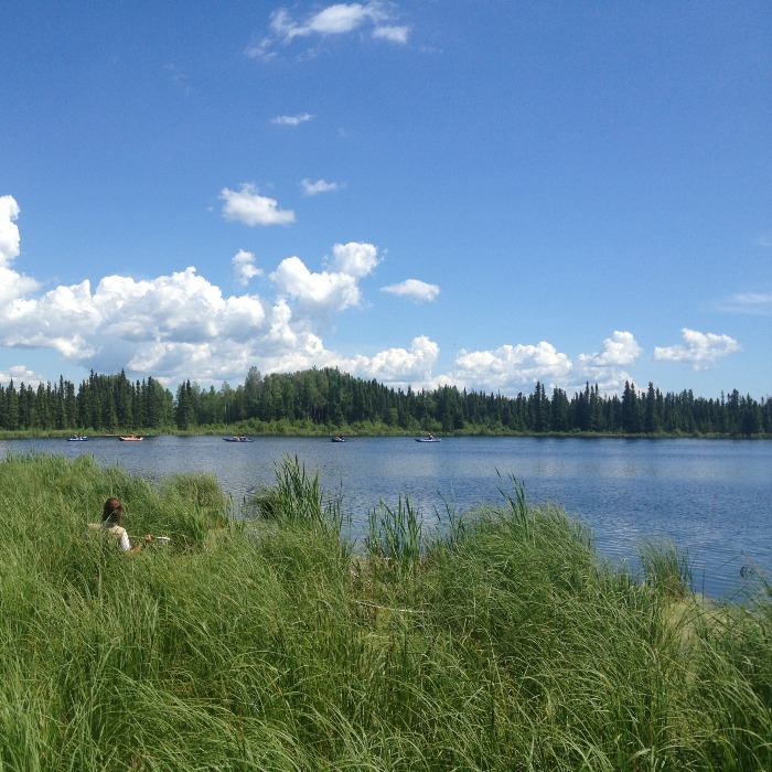
The ABMI visits wetland survey sites once or twice throughout the field season. Each wetland survey site is randomly selected within 10 km of a terrestrial site. Wetlands must be permanent, which means they must have existed for at least 10 years and be at least one metre deep.
Wetland protocols are performed during spring and summer visits. Sighting of birds, mammals, and amphibians are also noted during each visit.
The ABMI's Biodiversity Surveys
Learn more about what we do during each site visits and the protocols we follow.
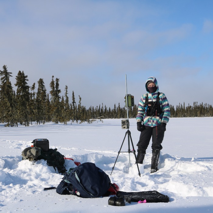
Up to four pairs of motion-sensitive trail cameras and autonomous recording units (ARUs) are set up on rebar or installed on trees or fence posts at each site. The cameras and ARUs record images of wildlife and birdsong, which allow us to monitor the distribution of Alberta’s mammals and birds. Any photos of humans, vehicles, or potentially identifiable features are permanently removed from our data set to ensure privacy for participating landholders.
During this visit, the field staff will determine their best access path and prepare forested sites to be surveyed by marking out the area with flagging tape. Additionally, field staff will collect moss and lichen for identification by our specialists, take soil samples and site photographs, and note the composition of the trees and woody material.
Visit 3 (June—July)
The third visit (summer survey visit) takes place in June or July. Field staff collect the cameras and ARUs, perform a vascular plant survey, core leading and secondary tree species, record canopy cover data, and identify the ecosite type and physical characteristics of the site. Most terrestrial protocols are repeated in each of four quadrants (northeast, southeast, southwest, and northwest) of the 100 m x 100 m (1 ha) terrestrial site, while tree cores are collected based on tree size and species composition within the north and south halves of the plot. Once the summer visit is complete, all flagger and temporary markers used to delineate the plots and site boundaries are taken down and removed from the site.
Terrestrial Protocols
Each terrestrial protocol is repeated in each of four quadrants (northeast, southeast, southwest and northwest) of the 100 m x 100 m (1 ha) terrestrial site.

- Wildlife camera and ARU deployment
- Moss and lichen samples
- Trees, snags and stump observations
- Downed woody material measurements
- Soil arthropod (mite) and mineral soil samples
- Site photographs
- Ecological and physical site characteristics (topography, elevation, and slope)
- Surface substrate and soil depth measurements
- Shrub and herbaceous ground cover estimates
- Tree cores (to determine age)
- Forest canopy cover estimates
- Vascular plant identification
- Camera and ARU retrieval
Visit 1 to a New Wetland Site (May–June)
During the first visit to a new wetland site, field staff will determine their best access path and ensure the wetland site meets ABMI survey requirements for depth and size.
Visit 2 (June–July)
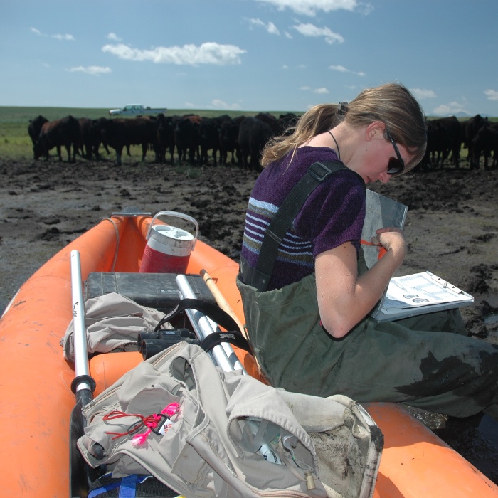
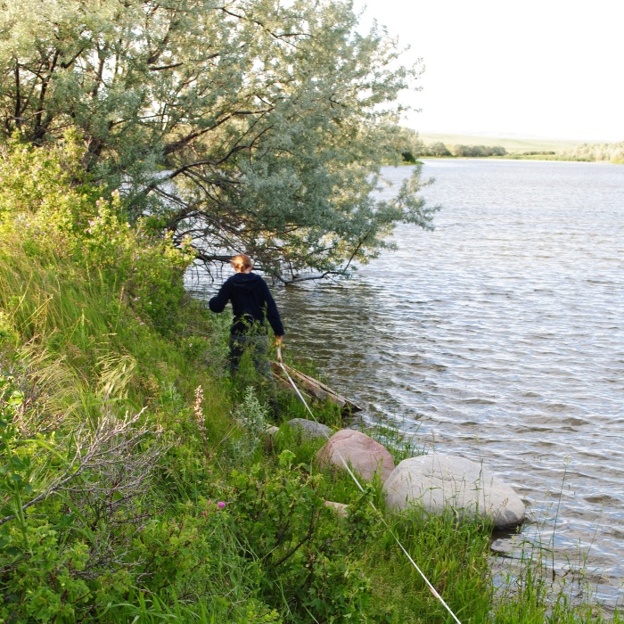
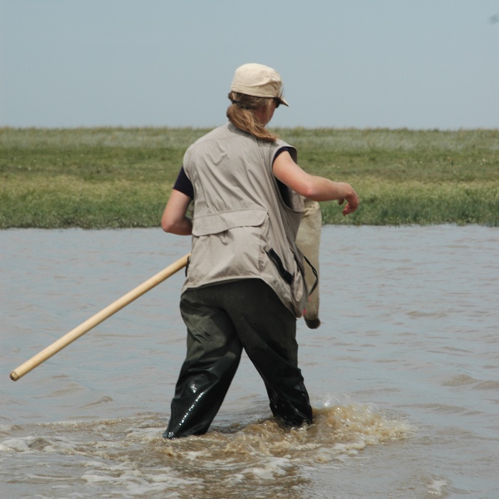
Wetland surveys occur during the second site visit in June or July. During this visit, field staff will survey plants around the perimeter of the water. Staff will also use an inflatable kayak to collect water samples, take depth measurements, and collect aquatic insects.
Wetland Protocols
Wetland protocols are performed during spring and summer visits.
- Depth estimates (from shore)
- Wetland vegetation zone maps (from shore)
- Depth measurements (from boat)
- Shoreline characteristics and site photos
- Vertebrate (birds and mammals) search
- Water chemistry and nutrients
- Plant and ecosite identification
- Aquatic insect collection