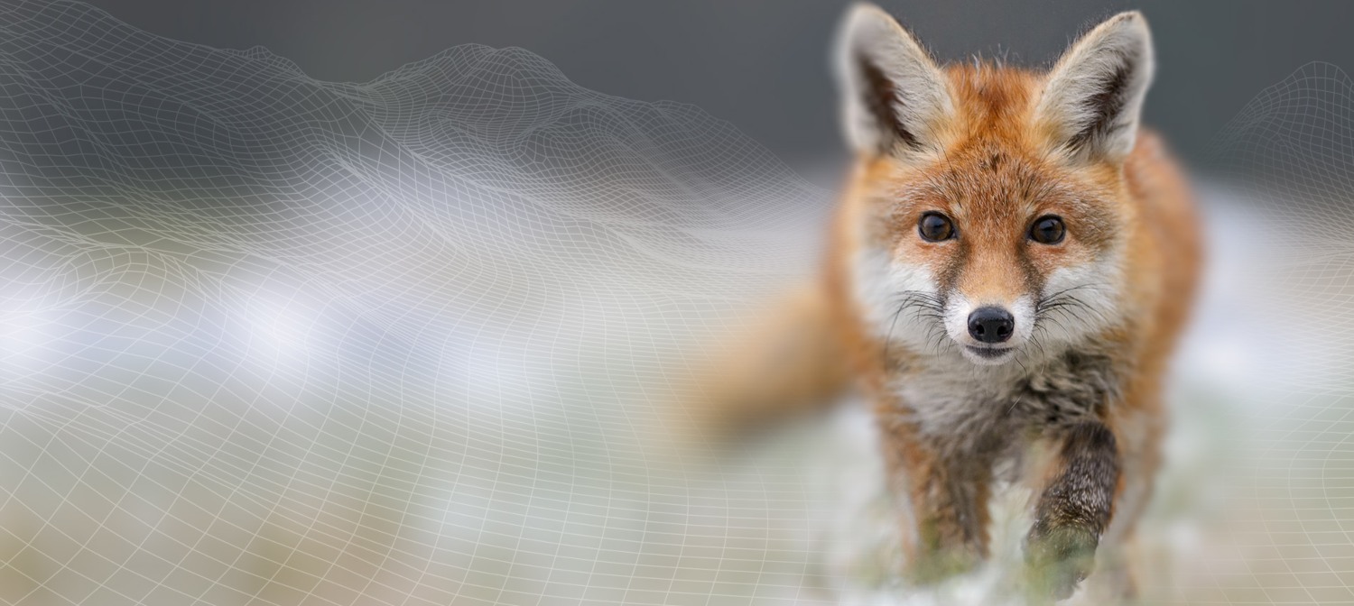
Biodiversity Pathways
Working together to mobilize biodiversity data.
Our national affiliate, Biodiversity Pathways, works collaboratively to develop and implement science-based monitoring programs, tools, and research beyond Alberta’s borders.
By collecting rigorous data on species, their habitats, and human footprint, we can support informed land-use planning and resource management. Biodiversity Pathways develops and implements monitoring programs that meet the needs of partners and stakeholder groups at local, regional, and national scales.
Biodiversity Pathways is delivered in partnership with the University of Alberta, the University of Northern British Columbia, and the University of British Columbia–Okanagan.
Mobilizing biodiversity data to inform better decision-making.
Wildlife Science Centre
The Wildlife Science Centre brings together ecology, social science, and Indigenous ways of knowing to inform policy and management.
The team conducts primary and applied research, facilitates knowledge gathering and synthesis, and develops management plans and study designs through working with Indigenous communities, industry, academics, and government. Their aim is to understand the drivers of change for wildlife populations; track changes in wildlife habitats; and disentangle the complex relationships between species, disturbances, and climate.
Visit wildlifescience.ca to meet the team and learn about ongoing projects.
SENSR
SENSR (Services for Environmental Sensor Research) delivers cutting-edge, custom environmental sensor services to the broader scientific community. They work with wildlife cameras and autonomous recording units (ARUs) for vocalizing species such as birds and bats.
SENSR can assist you at any stage of the project life cycle: program design; equipment rental; data management, quality control, storage, and processing; analysis and reporting; and more.
Visit sensr.ca to learn more.

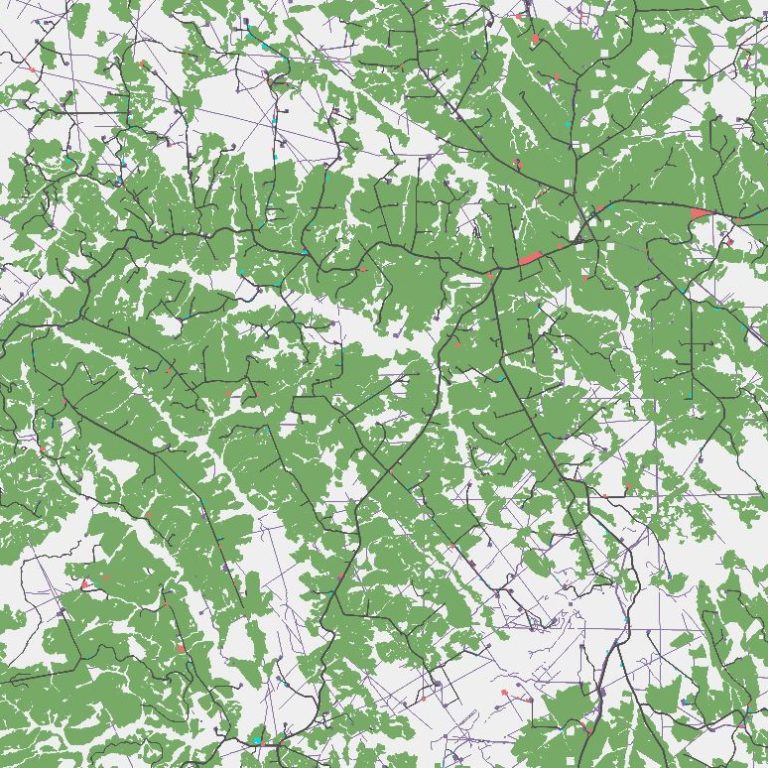
BC Geospatial Centre
The mission of the BC Geospatial Centre is to provide the first comprehensive, publicly accessible mapping of anthropogenic disturbances across the province of BC. By offering a complete account of human impacts on the province, we aim to support conservation decision-making processes in BC.
The Geospatial Centre is a partnership between Biodiversity Pathways and the University of Northern British Columbia. Stay tuned for additional information as the program develops!
