Land Cover and Land Use Mapping
One of our principal goals is to understand the distribution of land cover types at a given point in time and how habitats have changed or are changing. This work brings together diverse data (e.g., ground, airborne, space-borne) and a range of tools and technologies (e.g., cloud-computing, machine learning, photogrammetry) to produce map products and datasets.
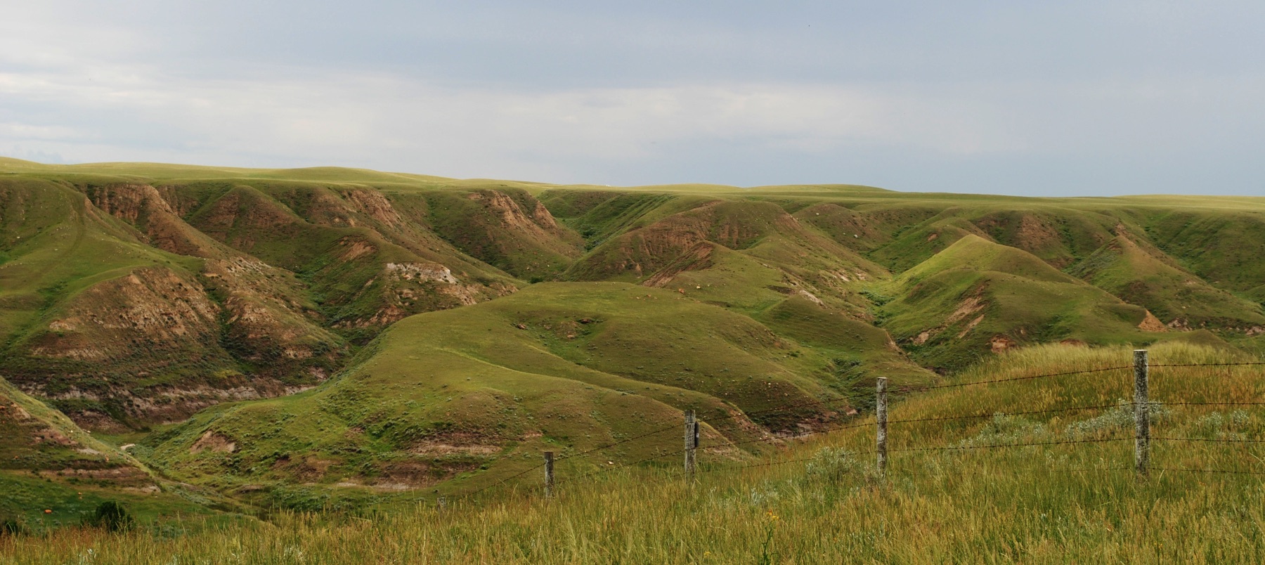
The Geospatial Centre's work includes terrestrial and hydrological habitats and human-created components of the landscape. Terrestrial products focus on wetland and upland mapping, while hydrological products consider open-water features such as lakes.
We continue to evaluate and include a variety of new geospatial data and tools for mapping and monitoring Alberta’s habitats. The data range from detailed, high-resolution aerial photography that can be used to build 3D models of the land surface, to the growing satellite image data streams now available. New tools include cloud-computing platforms, new machine learning approaches, and computer vision-based photogrammetry.
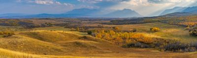
The Geospatial Centre uses a variety of geospatial tools and technologies for mapping and monitoring Alberta’s terrestrial landscapes, which include both upland and wetland areas.
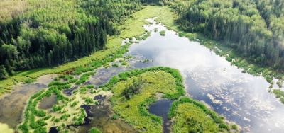
Geospatial datasets with frequent coverage, such as those from satellites, are the current foundation of our efforts to capture hydrological features.
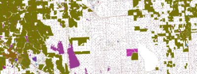
The ABMI has been working in collaboration with the Government of Alberta as part of the Alberta Human Footprint Monitoring Program (AHFMP) to improve the accuracy of human footprint.
Explore and create maps and data summaries for areas of interest in Alberta.
