You Manage What You Measure
You Manage What You Measure
“You manage what you measure” or, put another way, “You cannot improve what you do not measure." These are two adaptions of an original quote from mathematician and physicist Lord Kelvin, which say that without measurements, you don’t know if something is getting better or worse. Without a doubt, these statements hold true for biodiversity. In the absence of measurement—or monitoring—of biodiversity, it is often overlooked when land use decisions are made.
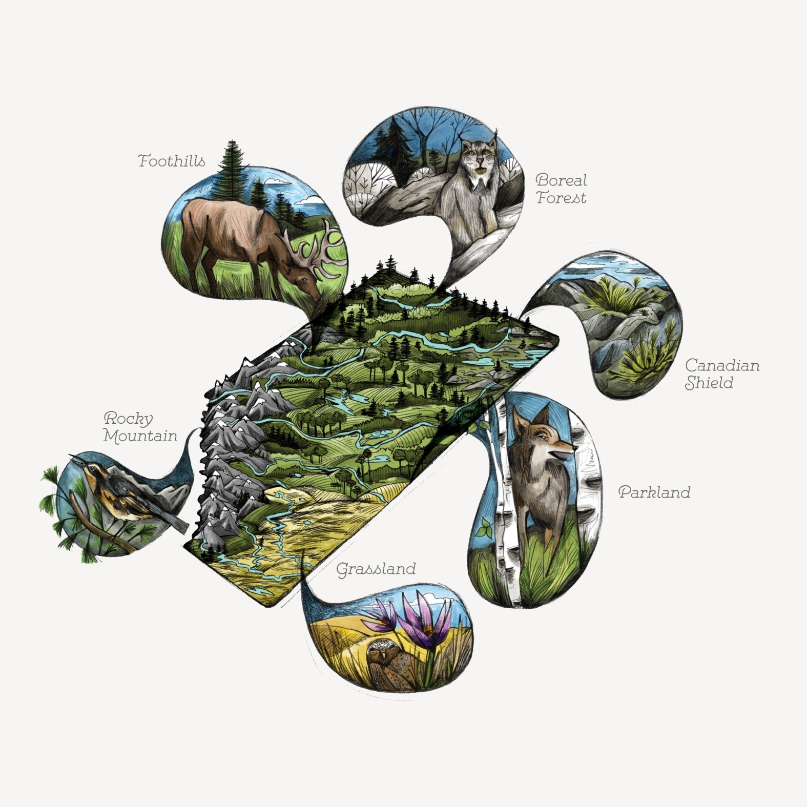
From the boreal forest in the north to the grasslands in the south, the ABMI collects a wide range of data on species, habitats, and human footprint, serving as a “biodiversity yardstick” for the province of Alberta. Using objective, rigorous scientific methods, the ABMI converts these data into indicators of the status of species, habitats, and land use (known as human footprint) to report on the health of Alberta’s biodiversity. The net result of this data collection is better information about biodiversity in Alberta. And ultimately, better information = better decisions.
The ABMI supports land-use decision making and sustainable resource management.
We convert biodiversity data into biodiversity knowledge.
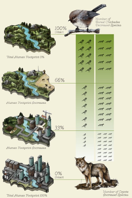
We take the biodiversity data collected and convert it into a standardized metric known as the Biodiversity Intactness Index. This metric tells us whether species and habitat elements are as abundant, less abundant, or more abundant than expected; this, in turn, provides insight into potential relationships between biodiversity status and underlying factors such as human footprint.
Currently, we report on the Biodiversity Intactness Index for a wide range of species and habitat elements within particular regions of interest. Going forward, as we continue to accumulate biodiversity data we will also report on trends of species abundance and human footprint—the primary purpose of the ABMI. Overall, the biodiversity knowledge we generate helps managers and planners make informed decisions about where and with what intensity different land use activities should occur.
We provide freely available biodiversity data.
The data (measurements) we collect on over 2,500 species, Alberta’s land cover, and province-wide inventory of human footprint are freely available on our website to answer questions about biodiversity and human footprint in Alberta.
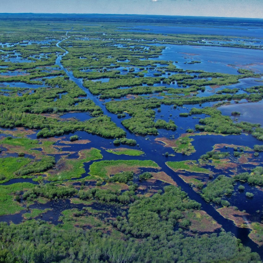
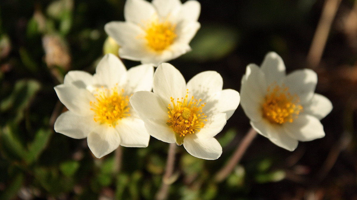
Photo: Jesse Watkins
Explore Alberta's Species
Use our Biodiversity Browser to view information on all the species we monitor in Alberta. Take an in-depth look at current ABMI single species and multi-species analysis results. A key highlight are individual species profiles which summarize species habitat associations, impacts of human footprint, and predicted relative abundance in Alberta.
Our biodiversity information can be used to establish land-use policies and sustainable resource management objectives, confirm whether management actions are effective, and provide insight into what changes might be needed when desired outcomes are not being attained. Simply put, the ABMI's data informs sustainable resource management and supports its improvement. For example, the ABMI's data are being used to develop and implement a biodiversity management framework for each of the seven land-use planning regions across the province. Objectives for biodiversity defined in each regional biodiversity management framework will be assessed by monitoring and evaluating data for key indicators of species, habitat, and human footprint.
If we truly want to make informed land-use decisions (i.e., to understand the potential trade-offs of various development proposals), we must measure biodiversity. The ABMI provides the biodiversity yardstick to do just that.