What We Do
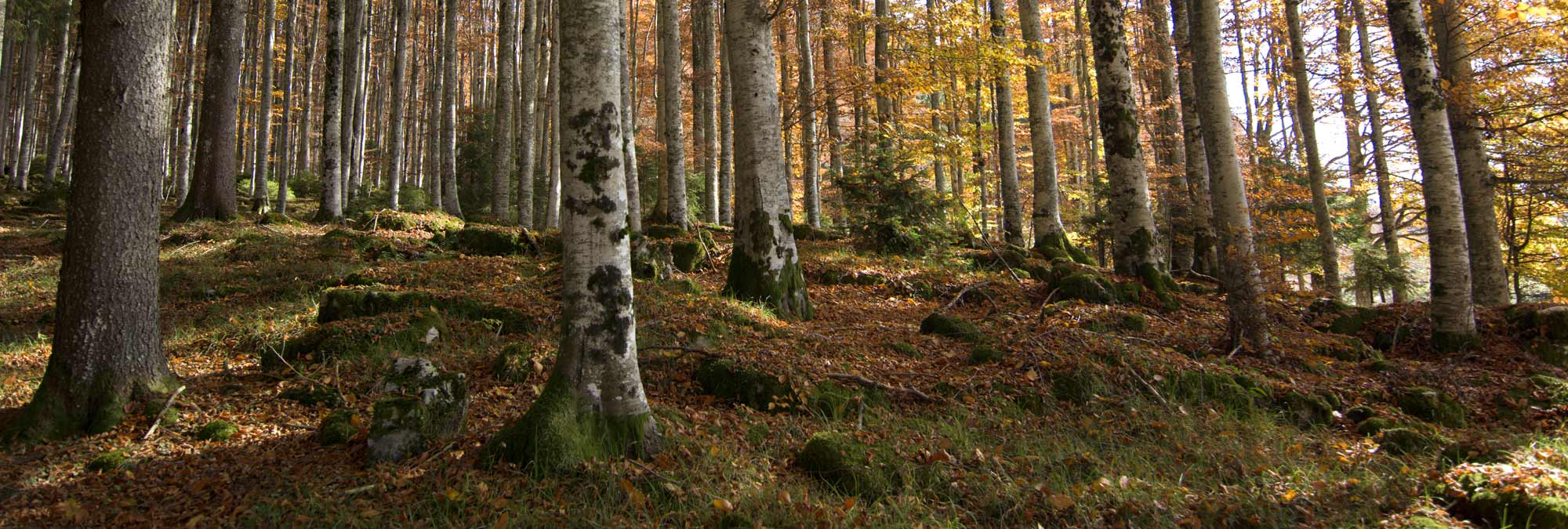
We provide ongoing, high-quality data on the species that call Alberta home.
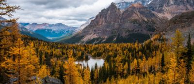
Our goal is to provide scientific information on the state of Alberta’s biodiversity to support natural resource and land-use decision making in the province.
We monitor and report on the status and trends of Alberta’s species, habitat, and human footprint.
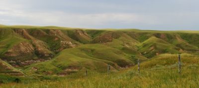
Our Geospatial Centre uses remote sensing data and tools to map and monitor Alberta's landscapes and human footprint.
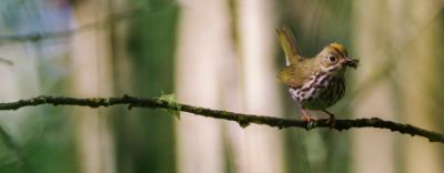
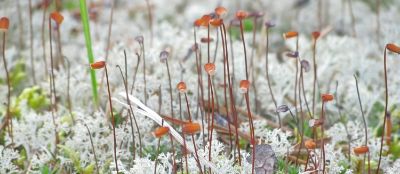
Alberta is home to an estimated 80,000 species, most unstudied and some completely undiscovered. The ABMI monitors aquatic invertebrates, amphibians, birds, bryophytes, lichens, mammals, soil mites, and vascular plants.
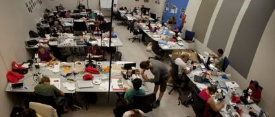
Translating monitoring results and scientific information for a range of audiences and end users.
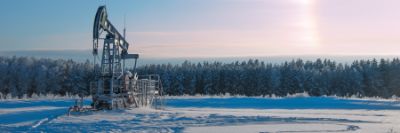_Oil%20drill%20in%20winter-banner-1.jpg)
Collaborative environmental monitoring in the Oil Sands Region.
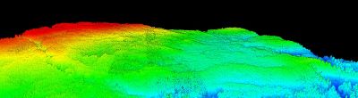
Lidar and imagery data for Alberta.
We are committed to working with groups that are interested in the management of Alberta’s living resources.
