We work together to achieve greater outcomes.
Collaborative environmental monitoring in the Oil Sands Region.
Lidar and imagery data for Alberta.
We are committed to working with groups that are interested in the management of Alberta’s living resources.
Translating monitoring results and scientific information for a range of audiences and end users.
Working together to mobilize biodiversity data.
A grassroots initiative that works with Indigenous communities interested in biodiversity monitoring.
Learn about landholder information and land access details.
Explore our ongoing and past projects, collaborations, and how we apply research in the field.
Instantly generate a report on land cover and biodiversity for many areas of interest across Alberta.
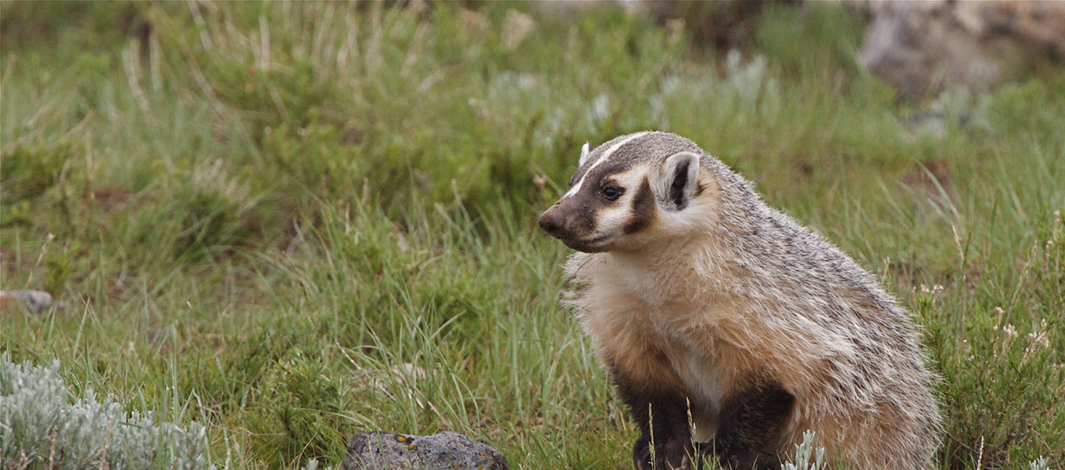
Learn about the species ABMI monitors in Alberta’s encyclopedia of life.
Read and download our academic publications, annual reports, monitoring protocols, and more.
Explore, visualize, and create maps for areas of interest in Alberta.
Manage, store, process, share, and discover environmental sensor data.
Detailed online status reports summarize land cover and biodiversity information for different regions.
See our latest news, stories, videos, blogs, and more!
Our staff have a wide range of expertise that are important to the ABMI's success and day-to-day operations.
The ABMI is a great place to work, learn, and be part of a passionate team.
Be a part of a world-class biodiversity monitoring program.
Have questions? We've got answers.
Get in touch with us today.
Quick access to our products and resources.
ABMI Data
Biodiversity Browser
Mapping Portal
Wildtrax
Online Reporting for Biodiversity (ORB) Tool
Media and Storyhub
Publications
Projects and Collaborations
Staff Directory