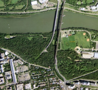
A comprehensive digital representation of anthropogenic disturbances (e.g., agriculture, forestry, energy) on the Alberta land-base, digitized manually, as seen from SPOT6 satellite imagery. This includes linear features.
Subject Area:
Human Footprint
Update Frequency: As needed
Dataset Information
Last Modified Date: May 14, 2025
Data provided by: ABMI Geospatial Centre, Government of Alberta
Contact: abmidata@ualberta.ca
Citation:
Alberta Biodiversity Monitoring Institute.
Last modified May 14, 2025.
(https://abmi.ca/data-portal/80.html)
Share this dataset

