Harvest Area Spectral Regeneration 2021
As a complement to the ABMI’s Human Footprint Inventory (HFI), the Harvest Area Spectral Regeneration datasets comprise the remote sensing-based characterization of vegetation regrowth in relevant harvest area polygons contained within the inventory. The HFI currently treats temporary successional footprints and other, more permanent footprints equally. The intent of this dataset is to enhance current information on some of Alberta’s temporary successional human footprints by providing estimates of post-harvest regeneration as seen through changes in spectral signals detected from the Earth’s land surface. The broad-scale perspective of this dataset offers regional and provincial insights into patterns of regeneration after forest harvest in Alberta.
Harvest Area Spectral Regeneration datasets have been generated for the 2019, 2020, and 2021 HFI products,. We strongly recommend caution when considering combining together information from different year versions of Harvest Area Spectral Regeneration. We suggest users rely on the most recent version available. Please see the accompanying metadata and technical documentation for more details.
Relevant Publications
Webmap
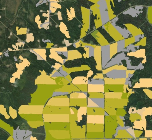
You can explore the ABMI Harvest Area Spectral Regeneration datasets before downloading using this online visualization tool HERE.
Dataset Information
Last Modified Date: Jul 9, 2024
Data provided by: ABMI Geospatial Centre
Contact: abmidata@ualberta.ca