ABMI Alberta Wetland Inventory Data
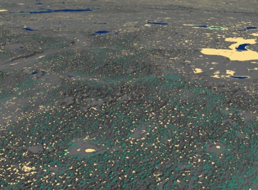
The ABMI province-wide wetland inventory maps wetland classes according to the Alberta Wetland Classification System - fen, bog, swamp, marsh - across Alberta. The open water class includes both shallow and deep open water features. The product was generated using a combination of satellite and terrain data, and machine learning. The province was mapped separately in three project areas representing ecoregions of Alberta with distinct wetlands. These three regions are: (i) the forested region, which is characterized by large peatland complexes; (ii) the prairie region with wetlands usually occurring in small depressional potholes, and (iii) the mountain region where wetlands are constrained to narrow valleys. For more detail, please see the available technical documentation.
Relevant Publications
Webmap: You can view the product before downloading HERE.
Dataset Information
Last Modified Date: Mar 31, 2021
Data provided by: ABMI Geospatial Centre
Contact: abmidata@ualberta.ca