Creating a Detailed Wetland Inventory with Sentinel-2 Time-Series Data and Google Earth Engine in the Prairie Pothole Region of Canada
Published: Jul 14, 2022
Description:
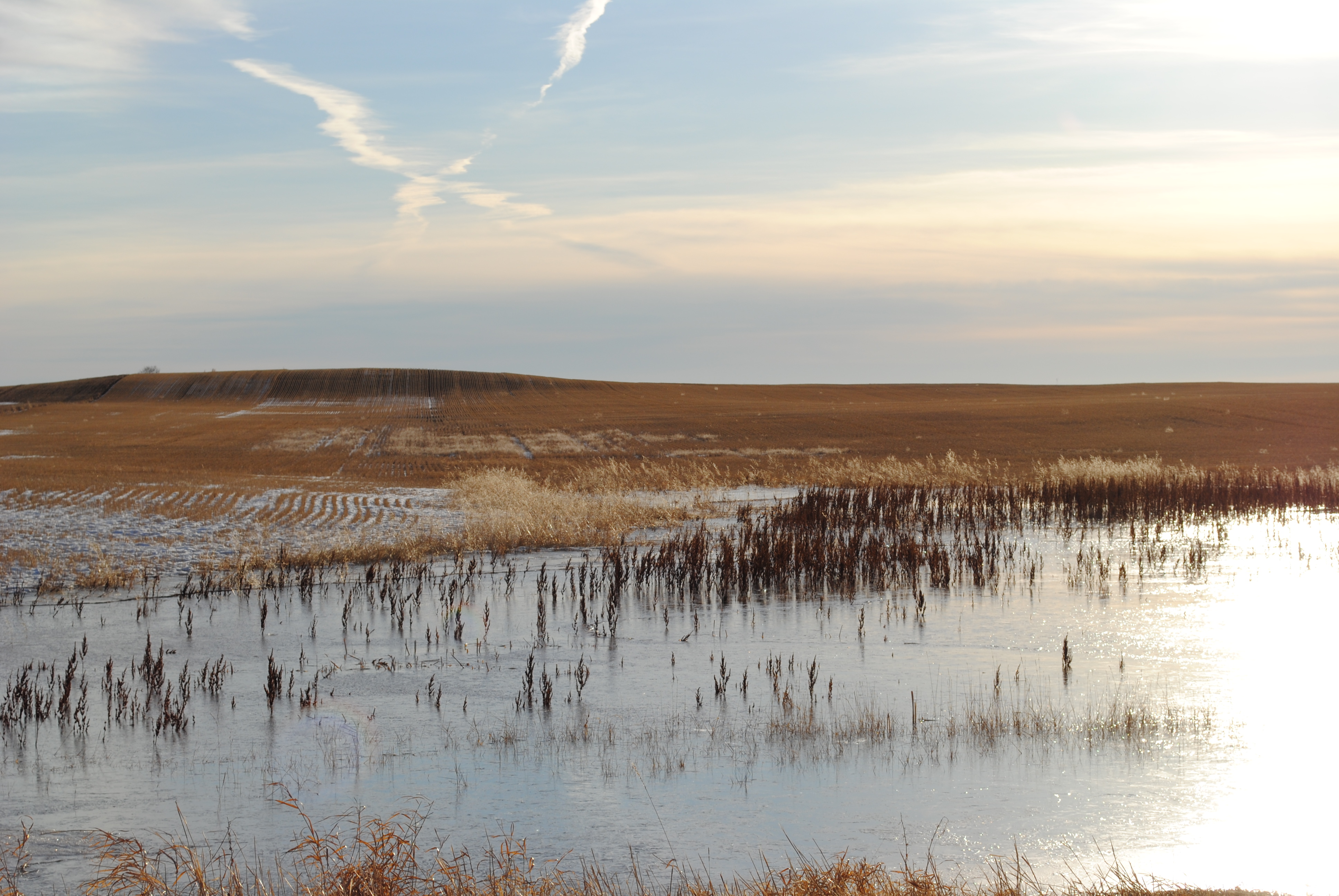
Prairie pothole wetlands are both seasonally and annually dynamic, can be very small, and are frequently impacted by human activity. Their conservation and management relies on accurate inventories. This publication combines flooding frequency (i.e., hydroperiod) mapping using Sentinel-2 satellite images from multiple seasons and years, and satellite-derived vegetation height information to generate a wetland inventory of southern Alberta's prairie pothole region. The methods require minimal training data and proved effective for capturing seasonal wetland features.
Document Type:
Peer-reviewed Publications - ABMI-authored
Subject Area:
Remote Sensing,
Mapping,
Prairie Region
Citation:
Alberta Biodiversity Monitoring Institute.
2022.
Creating a Detailed Wetland Inventory with Sentinel-2 Time-Series Data and Google Earth Engine in the Prairie Pothole Region of Canada.
Available at: https://abmi.ca/publication/613.html
Share this publication
