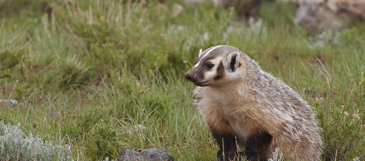
The ABMI generates province-wide maps of predicted relative abundance for each species with enough data to support statistical models; models predict species relative abundance in 1-km² spatial units using species' relationships with vegetation types, human footprint, and geographic location.
Subject Area:
Species-habitat Models
Update Frequency: Biennial
Dataset Information
Last Modified Date: Oct 29, 2020
Data provided by: ABMI Science Centre
Contact: abmidata@ualberta.ca
Citation:
Alberta Biodiversity Monitoring Institute.
Last modified Oct 29, 2020.
(https://abmi.ca/data-portal/26.html)
Share this dataset