Indicator Development
Categories: Methods Development
Status: In Progress
About the Project
The Biodiversity Science Committee was established to develop a system for monitoring, reporting on, and managing cumulative effects on biodiversity at a regional scale.
The ABMI works with the Biodiversity Science Committee within Alberta Environment and Protected Areas to support the development of indicators for the frameworks, including those relating to species, communities, and habitat. In addition, we deliver essential geospatial data such as the Human Footprint Inventory (HFI), which is used extensively in BMF indicator development and sub-regional planning.
Project Collaborators
- Biodiversity Science Committee at Alberta Environment and Protected Areas
We provide expertise and/or data for a number of regional and provincial indicators either developed or in development. Examples of currently active work on these indicators include:
- Landscape connectivity
- Interior habitat
- Stream connectivity
Full details and datasets for the indicators released thus far can be accessed through the Government of Alberta’s GeoDiscover Alberta portal.
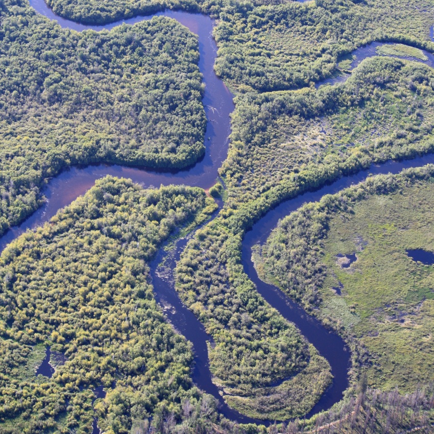
Stream Connectivity
In partnership with EPA, the ABMI has developed a stream connectivity indicator to help inform the environmental planning of Alberta’s watersheds. The goal of this indicator is to provide the following functions:
- Quantify the degree of connectivity within our stream systems.
- Identify and monitor changes in anthropogenic barriers (i.e., culverts, dams, bridges) as they relate to biodiversity either directly or indirectly.
- Incorporate variation in the location and probability of movement through different types of barriers.
- Implemented at multiple spatial scales.
- Save monitoring and reporting costs.
This indicator is publicly available online through the Alberta GeoDiscover Portal and the ABMI Mapping Portal.
Technical Documentation
- Stream Connectivity Indicator for Alberta (Alberta government)
- Development of the Stream Connectivity Indicator for Alberta (ABMI Github)
- Stream Connectivity Indicator for Alberta (ABMI Github)
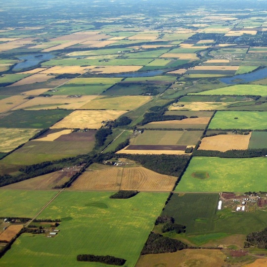
Landscape Connectivity
In partnership with EPA, we are developing a landscape connectivity indicator to help inform the environmental planning of Alberta’s landscape. In addition to the total quantity of habitat, the spatial arrangement of that habitat on the landscape is important for biodiversity conservation as the orientation of habitat patches can affect species' abilities to move between suitable habitat areas. Landscape Connectivity informs the environmental planning of Alberta’s landscape by assessing how undisturbed landcover is configured across the province and assessing the capacity for species to access nearby habitat patches.
Technical documentation for this indicator is publicly available online.
This indicator is still under active development and is subject to change. The Biodiversity Science Committee is reviewing this indicator and plans to publish both data layers and technical documentation as they become available.
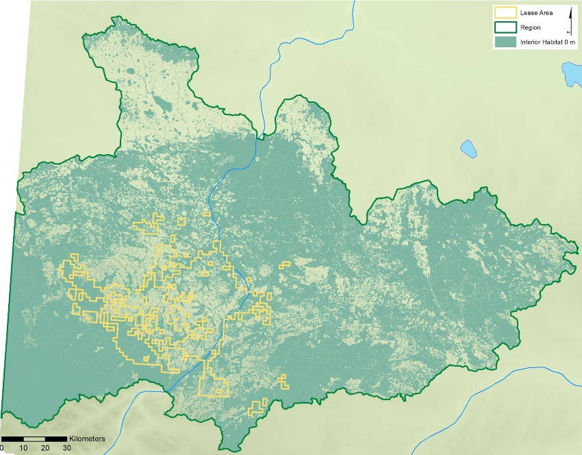
Interior Habitat
Building off initial technical work done by the ABMI, EPA developed an indicator of interior habitat across Alberta. This indicator quantifies one facet of biodiversity loss by capturing both the direct loss of habitat and the additional impact of edge effects. The interior habitat indicator is calculated as the percentage of habitat in a watershed outside human footprint, including a buffer around features in the ABMI's Human Footprint Inventory to take edge effects into account.
Technical documentation for this indicator is publicly available online.
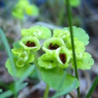
This project monitors rare plants in Alberta’s boreal forest.
In 2017, we undertook a 10-year science and program review that evaluated the degree to which we delivered on our scientific goals and objectives during the first 10 years of operation.
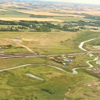
Connectivity planning is a key component of managing land and biodiversity.