Grande Cache Area and Willmore Wilderness Park Recreation and Wildlife Study
Categories: Wildlife Monitoring
Status: In Progress
About the Project
Led by Alberta Environment and Parks and delivered collaboratively with the ABMI and the locally established Grande Cache Trails Working Group, this collaborative project is assessing recreational use, including values and needs, as well as the effects of recreation on wildlife across public lands and in the Willmore Wilderness Park.
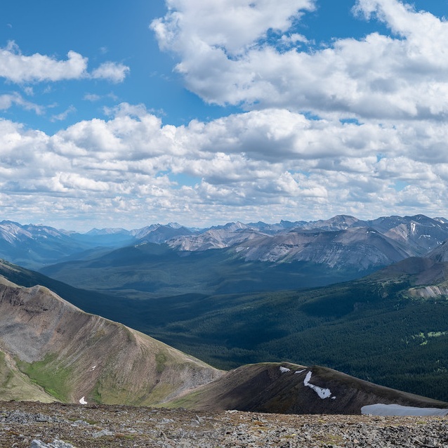
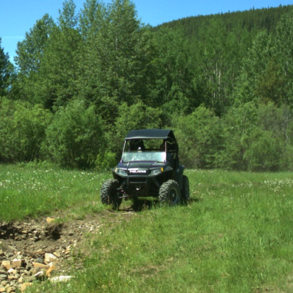
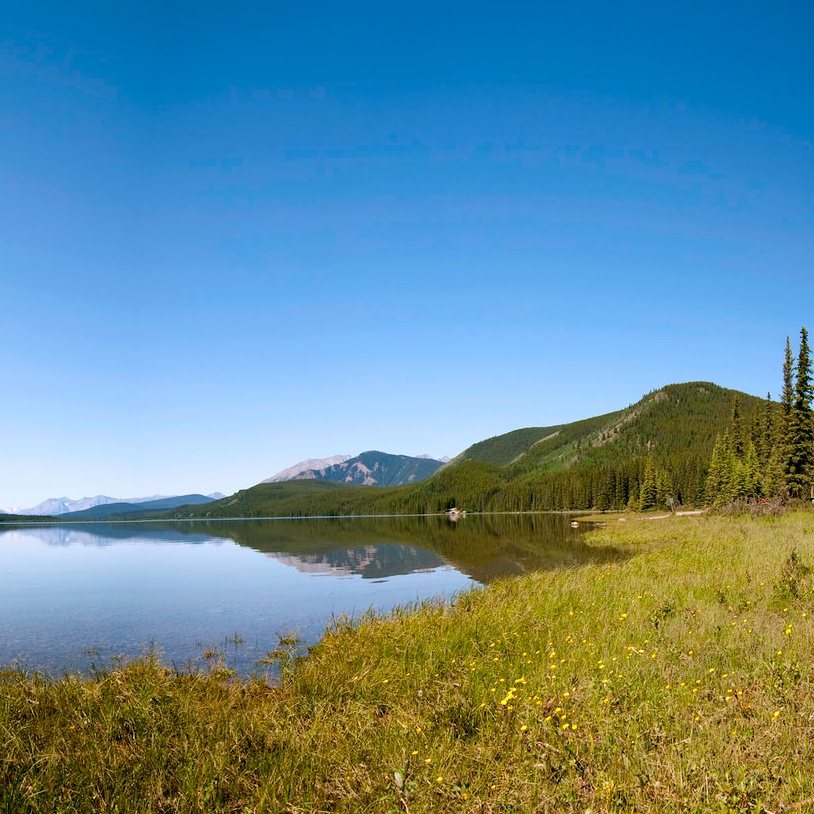
Grande Cache is a small hamlet in the northern part of the Rocky Mountains, with a variety of recreational opportunities including hiking, trail running, horseback riding, mountain biking, camping, watersports, and off-highway vehicle use. Many residents and visitors explore the more than 21 mountain peaks in the area, as well as adventure along the rivers.
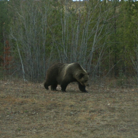
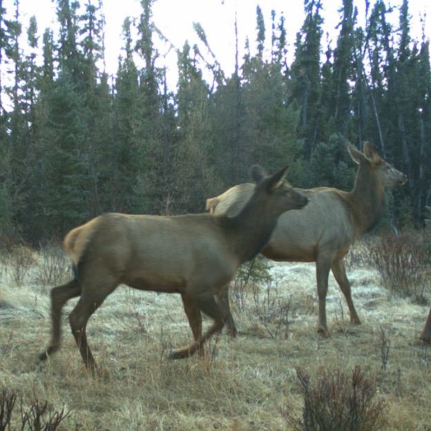
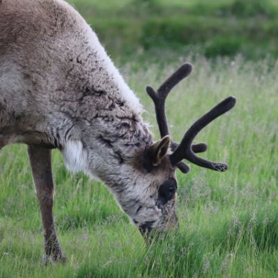
The Willmore Wilderness Park is approximately 4,500 square kilometers of untamed wilderness in west-Central Alberta near Grande Cache. It supports multiple back-country uses including horseback riding, backpacking, fishing, and hunting. It is also home to large wildlife populations, which rely on the habitat provided by the Park and nearby areas outside the Park.
Recreational use, and associated pressures, have been increasing across the area, both on public lands and within the Park, resulting in growing interest from local users to ensure sustainable and informed management of the landscape for both recreational and environmental goals.
- Alberta Environment and Protected Areas
- Grande Cache Trails Working Group
Our Approach
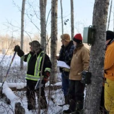
The team is deploying remote cameras throughout public lands around Grande Cache and in the Willmore Wilderness Park to capture information on recreational use and potential wildlife response. Deployment began during the spring of 2021 and will run for multiple years.
The information collected will be used to help provide input into evidence-based management planning, in collaboration with local recreational users and groups.
NWSAR supports the acquisition of new and more accurate data related to caribou and deploys remote cameras and autonomous recording units to collect data on ungulates and predators in two Woodland Caribou ranges in northwestern Alberta.

This project monitors rare animals in Alberta’s Lower Athabasca region.
In collaboration with the Caribou Habitat Recovery Program (CHRP) through the Forest Resource Improvement Association of Alberta (FRIAA), the ABMI is developing a detailed vegetation inventory along linear features for the Richardson caribou range in northeastern Alberta.
