Assessing the Quality and Stability of Photogrammetric Point Clouds Derived from Stereo UAV Imagery
Published: Apr 8, 2015
Author(s):
McDermid GJ
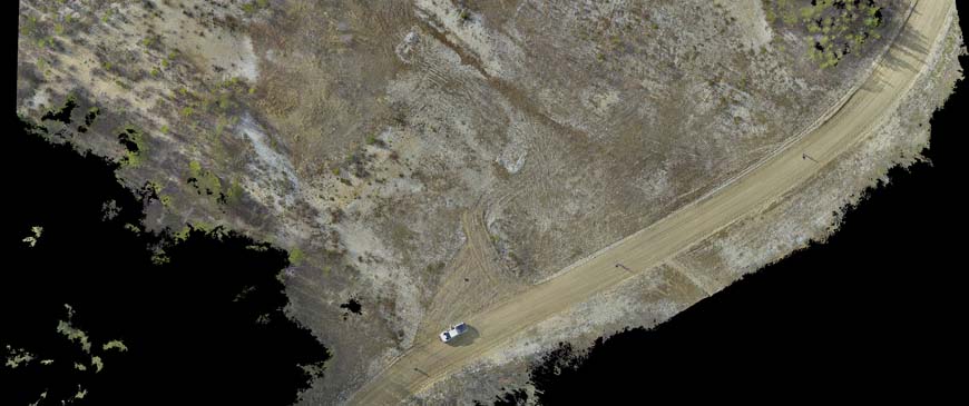
Description: Remotely-sensed data from UAVs are increasingly being used to evaluate landscape condition. This report provides a systematic evaluation of the impact of target complexity and light conditions on the quality and stability of point clouds extracted from stereo imagery acquired by UAVs. Digital surface models were measured against reference LiDAR data at two different field locations in Alberta to gain insight into the factors affecting the quality of topographic models acquired from UAV data, and to highlight optimal conditions for high-quality data acquisition from UAVs.
Document Type:
Projects and Units - Ecological Recovery Monitoring,
Biodiversity Research and Science Development - Geospatial Research
Subject Area:
Mapping
Tags:
ecological recovery,
UAV
Citation:
Alberta Biodiversity Monitoring Institute.
2015.
Assessing the Quality and Stability of Photogrammetric Point Clouds Derived from Stereo UAV Imagery.
Available at: https://abmi.ca/publication/369.html
Share this publication
