Airborne Data Collection

Lidar and Imagery Data for Alberta

Our goal is to make high-quality, wide-area datasets freely available and accessible to benefit researchers, land managers, Indigenous communities, policymakers, and the broader community.

Investment in open-source lidar will help ensure that natural resource and wildlife management in Alberta remains globally recognized. In addition, there is a growing recognition of the importance to co-develop knowledge and empower shared decision making across federal, provincial, municipal, First Nations, Métis and industry partners. Lidar knowledge products create a shared understanding that better supports informed decision-making.

The ABMI is committed to partnering, using, and sharing lidar data to improved natural resource science and natural resource management.

What is lidar?

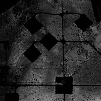
What is lidar? Lidar stands for light detection and ranging, and here's how it works: A scanner (laser transmitter and receiver), a global navigation satellite system (GNSS) receiver and an inertial navigation system (INS) are mounted to an aircraft. A laser is sent towards the ground by the scanner and is reflected back from various surfaces. The distance the laser beam travelled is measured based on the time it takes to get back to the scanner. When that information is combined with the positional information from the GNSS and INS, we can create three-dimensional point clouds that represent the surface.


Lidar Imaging at the ABMI

The ABMI operates a wide-area lidar data acquisition program. Datasets collected through this program are open and publicly available. Lidar data are typically collected during the growing season (June 15th – September 15th) and at a density of 12 points per m². We also collect data in the spring and fall (“leaf off”) that typically have a density of 6 points per m².

We are operating several major programs that take advantage of lidar data:
  1. Caribou habitat tracker program
  2. Wetland mapping, and
  3. Habitat mapping.

In addition to lidar data collection and processing, the Imaging Centre leads innovative projects using machine learning and AI for vegetation inventories on seismic lines, wetland mapping, caribou habitat mapping, and more!
 

A Foundation for Natural Resource Management

The potential applications of these data are significant and additional applications of these data are expected to be developed in the near future.

Lidar can be used to create information products that directly support the management of:

  • Wildfire and flood risk in or near communities,
  • Wildlife and species-at-risk (e.g., caribou and wood bison habitat),
  • Drought response and climate change adaptation,
  • Reclamation and remediation (implementation, evaluation, auditing),
  • Forest fibre and biomass,
  • Pests and disease in our forests,
  • Carbon stocks, and
  • Upland ecosystems, wetlands, lakes and rivers (planning initiatives).
     

What Lidar Data are Available?


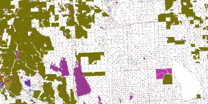
We’re working to make batches of lidar data publicly available on our Data Download. We will regularly add coverage as data are collected and processed.The downloadable data will include the most commonly used products such as:

  • Primary derivatives plus metadata
    • Bare Earth Digital Elevation Model (DEM)
    • Canopy Cover
    • Canopy Height
    • Tree Tops
    • Roughness
    • Mean Intensity of Return
    • Mean Height of Vegetation
    • And others
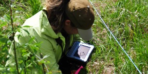
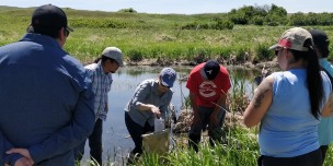
  • Field ground truthing data plus metadata, where applicable.
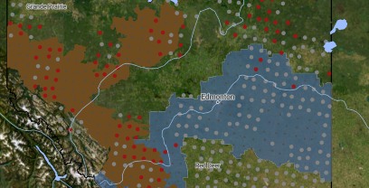
  • Boundary file (.shp file) for locations of lidar data acquisition

Note: Aerial imagery data along with metadata will be added to the download once it's ready. Other primary derivatives and point cloud data (e.g., laz files) are available upon request.


More questions? Feel free to contact:

Dr. Mir Mustafizur Rahman

Director - Imaging Centre
mustafiz.rahman@ualberta.ca

Alberta Biodiversity Monitoring Institute Logo, Small

Alberta Biodiversity Monitoring Institute ©2014  All Rights Reserved     |  Privacy Policy |  Terms of Use |  Our Photos |  Glossary