.bmp)
Satellite Time Series and Google Earth Engine Democratize the Process of Forest-Recovery Monitoring over Large Areas
Published: Nov 22, 2021
Description:
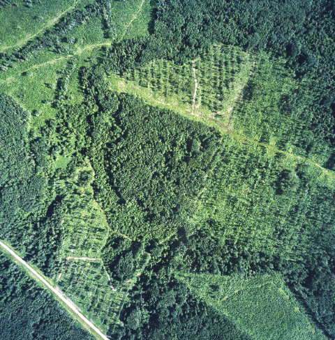
Monitoring changes in forest condition and cover is key in land use and resource management. This paper combines open-access, satellite imagery and the cloud-based Google Earth Engine platform to efficiently describe patterns of spectrally-based recovery in Alberta forest harvest areas. Results are comparable to other published values and show broad regional trends, such as faster recovery in the Boreal region versus slower recovery in the Rocky Mountains. High local-level variability suggests, however, that a variety of factors play a role in harvest area spectral recovery.
Document Type:
Peer-reviewed Publications - ABMI-authored
Subject Area:
Remote Sensing,
Mapping,
Human Footprint
Citation:
Alberta Biodiversity Monitoring Institute.
2021.
Satellite Time Series and Google Earth Engine Democratize the Process of Forest-Recovery Monitoring over Large Areas.
Available at: https://abmi.ca/publication/603.html
Share this publication
