Land Access

Surveying Alberta's biodiversity on your land.

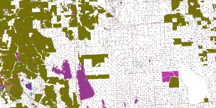
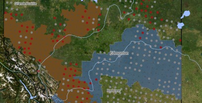
  • The ABMI randomly selects site locations using a systematic grid. Sites are not chosen on any particular land use or habitat type. Randomly choosing sites within this grid ensures the ABMI’s data is unbiased, and accurately represents the different habitats and land use types in proportion to their existence in Alberta.

  • Providing permission for the ABMI to survey biodiversity on your land means you are an active member of a world-class environmental monitoring program, and that you are committed to land stewardship in Alberta. For allowing access to your land, you will receive an information package describing the species detected by our surveys once every five to seven years. Additionally, you will have access to photos from any wildlife cameras installed on your land as part of our surveys. This information can be a valuable tool to measure your own land management and stewardship efforts.

  • The ABMI does not release exact site locations or landholder information. The ABMI is not a management agency, and will not directly impact the management of your land. The ABMI’s public data does not include exact site locations, and protects the anonymity of landholders so rare species and weeds cannot be tracked to a specific location.

  • Landowners maintain all property rights on their land, regardless of the existence of an ABMI survey site, and are encouraged to continue using their land as if the ABMI was not present. The ABMI would like to return to sites whether or not the land use has changed, as a way of measuring changes in species, habitat, and human land use across the province over time.

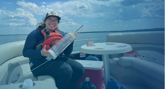
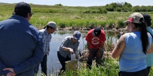
  • The ABMI follows strict rules when accessing private and leased land, and uses non-invasive survey protocols to prevent damage. Learn more about our survey protocols and our site access rules.

  • The ABMI agrees to hold harmless the landholder from any and all third party claims, demands, or actions for which the ABMI is legally responsible, including those arising out of negligence or willful acts by the ABMI or the ABMI’s employees, volunteers, or agents. 

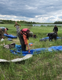
  • The ABMI’s field technologists will access each ABMI site two to three times over the field season, once every five to seven years. Landholders will always be contacted for permission to access and re-survey the land, and will be notified a few days prior to each site visit.

  • ABMI Land Access Coordinators work closely with members of industry to ensure our crews have all necessary safety equipment (PPE), training (e.g. H2S Alive), and site-specific orientations as required by individual companies.

  • The ABMI is a not-for-profit organization operated in partnership with InnoTech Alberta, the Royal Alberta Museum, the University of Alberta, and the University of Calgary. We are funded by a public-private partnership, with contributions from the Government of Alberta, the Joint Canada/Alberta Implementation Plan for Oil Sands Monitoring (JOSM), Alberta Pacific Forest Industries, and other members of Alberta’s natural resource industries. See a complete list of sponsors here.


More questions? Feel free to contact:

Sarah Kristoff

Access Manager
abmixs@ualberta.ca

Land Access

Alberta Biodiversity Monitoring Institute Logo, Small

Alberta Biodiversity Monitoring Institute ©2014  All Rights Reserved     |  Privacy Policy |  Terms of Use |  Our Photos |  Glossary