Glossary

Understanding the language of biodiversity.

  • Abundance Index (AI)

    The Abundance Index describes change in the observed abundance of a species compared to the expected abundance of that species. Abundance is calculated using only sites where the species was detected. The ABMI Intactness Benchmark concept is used to establish the expected abundance.

    Acidophilic

    Optimal occurrence at pH <5.5.

  • Biodiversity

    Biological diversity or biodiversity means the variability among living organisms from all sources including, inter alia, terrestrial, marine, and other aquatic ecosystems and the ecological complexes of which they are part; this includes diversity within species, between species, and of ecosystems.

    Biodiversity Indices

    The mathematical expression of the amount of biodiversity in a given area. Such indices include species richness (the total number of species found in an area), Simpson's index (the probability that two randomly selected individuals belong to two different species/categories), Shannon-Weiner index (a measurement of the amount of order in a particular system determined by the number of individuals found for each species), and Evenness (the similarity of the abundance of different species ranging based on an index of 0 to 1; when approaching 0, it indicates that most of the individuals belong to one or few species whereas when evenness approaches 1 this indicates the number of individual within each species is relatively even)

    Biodiversity Intactness Index

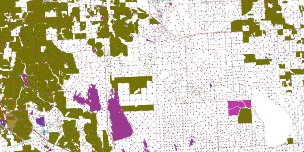
    The ABMI’s Biodiversity Intactness Index is used to report on the health of biodiversity within regions of Alberta. The index ranges from 100% intact to 0% intact—an area with little evidence of human impact is nearly 100% intact; a parking lot surrounded by big-box stores is nearly 0% intact. The Biodiversity Intactness Index is a measure of how much more or less common a species or habitat element is relative to its respective reference condition.

    Biodiversity management framework

    Each of Alberta’s seven land-use planning regions will have a biodiversity management framework (BMF). The BMF will outline regional goals (targets) for key indicators of biodiversity, including species, habitat, and landscape (human footprint) indicators. These indicators will be monitored by the ABMI and other biodiversity monitoring initiatives to evaluate if biodiversity targets are being met.

    Boreal Natural Region

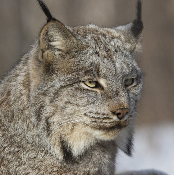
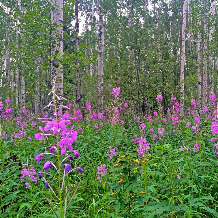
    The Boreal Natural Region is a huge northern ecosystem covering 381,000 km2 or 58% of the province. The boreal consists of a mosaic of upland forests interspersed with lowland forests and an abundance of low-lying wetlands, bogs, and fens. Lodgepole Pine, Jack Pine, White Spruce, and Aspen occupy the upland, Black Spruce and Larch in the lowlands. A great diversity of understory plants can be found depending on environmental conditions; Common Blueberry, Bog Cranberry, Labrador Tea, and One-sided Wintergreen are examples of common species. One common type of wetland, known as peatlands, provide a unique set of ecological conditions (limited oxygen, low nutrient availability, acidic soil), which supports a distinctive set of flora; species like the Northern Green Bog Orchid and the Round-leaved Sundew thrive in these habitats. The boreal forest is considered the “bird nursery” of North America as the mosaic of forest and wetland habitat serves as the breeding grounds for millions of birds each year. In fact, many birds, such as the Palm Warbler and Bay-breasted Warbler, are almost entirely reliant on the boreal forest during the breeding season. You can also find Canada Lynx and Snowshoe Hare throughout the boreal forest. Canada Lynx is a specialist predator of Showshoe Hare; lynx population goes up and down with the hare population cycle.

    Characteristic species: Bog Cranberry, Round-leaved Sundew, Palm Warbler, Bay-breasted Warbler, Canada Lynx, Snowshoe Hare, Arctic Grayling, Canadian Toad

  • Coulee

    A coulee is a type of ravine or valley that has been shaped by water erosion. Woodlands often occupy the valley bottoms where moisture accumulates and the trees and shrubs are protected from the wind; at the ridge tops, grasslands take over under the drier conditions.

    Canadian Shield Natural Region

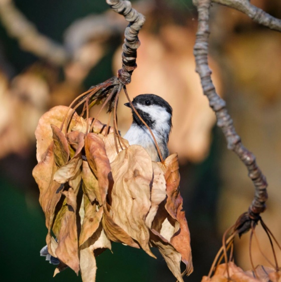
    The Canadian Shield Natural Region occupies an area of 9,719 km2 (or 1.5% of Alberta) in the northeastern corner of Alberta. This relatively flat landscape is predominately covered by exposed bedrock and glacial deposits interspersed with numerous shallow lakes and wetlands. What vegetation there is occurs in “pockets” such as rock crevices or other sheltered locations where enough soil has accumulated for plants to take root. Jack Pine uplands and Black Spruce bogs make up most of the vegetation. Common plants in the understory include Bearberry, Common Blueberry, Bog Cranberry, Labrador Tea, feathermosses, and a variety of drought-tolerant ferns. Lichen communities form patchy carpets on rock faces and slopes, and on the forest floor. The variety of habitats from lakes and wetlands, to upland and lowland forests, to rocky cliffs and islands, provide habitat for a variety of wildlife species. The lakes and wetlands support a diversity of waterfowl and shorebird species, including colonial nesting birds such as Bonaparte’s Gull and Common Tern. This region support many species that are characteristic of northern ecosystems, such as Boreal Chickadee, Moose, Beaver, Gray Wolf, and Canada Lynx.

    • Characteristic species: Bearberry, Labrador Tea, lichen communities, Bonaparte’s Gull, Common Tern, Boreal Chickadee, Moose, Beaver, Gray Wolf, Canada Lynx, Wood Frog, Canadian Toad, Northern Pike, Walleye, Shortjaw Cisco.
  • Ecosystem diversity

    Ecosystem diversity refers to the variety of different habitats in a region, and their patterns and linkages across the landscape. Familiar examples of ecosystems in Alberta are the boreal forest, grasslands, foothills, wetlands, and rivers; but ecosystems can also be defined within each of these broad categories.

    Ecosystem services

    Ecosystem services are the benefits humans receive from nature. Ecosystem services are often categorized into one of four categories using terminology from the Millennium Ecosystem Assessment (MEA 2005), including:

    1. Provisioning services are the products that we obtain from nature including our food (e.g. crops, fish, wild game), raw materials (e.g. lumber, fire wood, fiber for our clothes), medicinal resources (drugs, pharmaceuticals), energy (e.g. hydropower, biofuels), water, and genetic resources.

    2. Regulating services are the benefits obtained from the regulation of ecosystem processes, such as climate regulation (at the local scale by affecting temperature and precipitation, and at the global scale by storing or releasing greenhouse gases), purification of water and air, pollination, and pest control.

    3. Cultural services are the intangible, non-material benefits people obtain from nature and ecosystems, such as spiritual enrichment, science and education, recreational experiences, and aesthetic experience.

    4. Supporting services are ecosystem services that are necessary for the production of all other ecosystem services. Examples include production of the oxygen that we breathe, nutrient cycling, water cycling, biomass (biologically-based material made from living, or recently living organisms), and provisioning of habitat.

    Extinction

    Extinction: A species (or taxon) is considered extinct when it exists nowhere on the globe.

    Extirpation

    Extirpation: A species (or taxon) is considered extirpated when it no longer exists in a defined geographic region but it can be found elsewhere.

  • Foothills Natural Region

    The Foothills Natural Region is a zone of mixed deciduous and coniferous forests, rolling fields and rocky outcrops covering approximately 66,000 km2 or 10% of the province. As a transitional ecosystem between the Rocky Mountain Natural Region to the west, and the Boreal Natural Regions to the east and north, biodiversity in the foothills is generally a mix of these surrounding natural regions. For example, Lodgepole Pine, Aspen, and White Spruce are commonly found in the forested canopy, with Labrador Tea, Tall Bilberry, and Low Bush Cranberry growing on the forest floor. Similar to the vegetation, many wildlife species such as Elk are widely distributed throughout the Rocky Mountains and Foothills Natural Regions. Boreal Chickadee, Ruby-crowned Kinglet, and Spruce Grouse all occur in the Foothills, Rocky Mountain, and Boreal Natural Regions. One prominent species in this region is the Pileated Woodpecker; this woodpecker excavates holes in large dead and dying trees to nest. Once vacated these cavities are used by many other species, such as the Flying Squirrel.

    • Characteristic vertebrate species: Pileated Woodpecker, Flying Squirrel, Red Squirrel, Cougar, Elk, Bull Trout.
  • Genetic diversity

    Genetic diversity is the variation of genes within a species, which provide the raw material for adapation in an ever-changing world. Familiar examples of genetic diversity within a species in Alberta are different varieties of crops or breeds of livestock.

    Grassland Natural Region

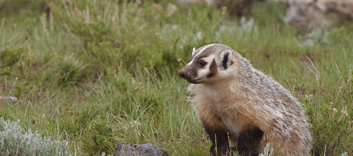
    The Grassland Natural Region occupies almost 96,000 km2, or 14% of Alberta stretching from the Rocky Mountain foothills in the west to the Saskatchewan border to the east. This classic prairie landscape is defined by the diversity of grasses that cover the rolling terrain, including species like the Blue Grama Grass, Northern Wheatgrass, Needle-and-thread Grass, and Plains Rough Fescue. While grasses predominate, there are a diversity of other vegetation types depending on soil and climatic conditions. For example, trees and shrubs, such as the Narrow-leaf Cottonwood, Silver Sagebrush and Prickly Rose are commonly found in depressions, along creeks, and in coulees and ravines where there is enough moisture to support their growth. Wildflowers, like the Prairie Crocus, Three-flowered Avens, and Prairie Coneflower add a succession of colour throughout the growing season in prairie ecosystems. Bird species like the Chestnut-collared Longspur, Baird’s Sparrow, and Sprague’s Pipit rely on native prairie habitat for nesting and foraging. Richardson’s Ground Squirrel (commonly known as the gopher) can be found burrowing throughout the Grassland Natural Region. They serve as food for a number of predators like Red-tailed Hawk and American Badger. Mule Deer and White-tailed Deer are also abundant in the Grassland Natural Region.

    • Characteristic species: Prairie Crocus, Prairie Coneflower, Baird’s Sparrow, Sprague’s Pipit, Chestnut-collared Longspur, Richardson’s Ground Squirrel, Porcupine, Mule Deer, White-tailed Deer, Pronghorn Antelope, Spadefoot Toad, Northern Leopard Frog, Wandering Garter Snake.
  • Indicators

    By measuring and monitoring defined indicators of biodiversity, the effectiveness of land-use planning, policies, and programs can be assessed and evaluated to determine if management actions are effective, and provide insight into what changes might be needed when desired outcomes are not being attained. The ABMI provides data on three types of indicators:

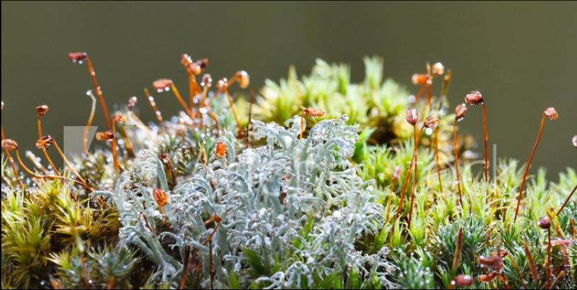
    • species indicators:  the ABMI collects data on more than 2,500 species  in Alberta including data for birds, winter-active mammals, armoured mites, vascular plants, mosses, and lichens

    • habitat indicators:  the ABMI collects data on a large number of habitat elements, over 200 in fact, such as trees and snags, downed logs, soil, shrub cover, and vegetative litter.

    • human footprint indicators: the ABMI measures more than 75 human footprint variables that are classified into six main categories: Agriculture; Forestry; Human-created Water Bodies; Mines, Wells and Other Energy Features; Transportation; Urban, Rural, and Industrial.

  • Land-use planning

    Land-use planning is a process used to decide the most appropriate use of land, including areas that can be sustainably developed and areas that should be protected. Land-use plans guide all future decisions that need to be made for a particular land base.

  • Parkland Natural Region

    The Parkland Natural Region occupies approximately 61,000 km2 or 10% of Alberta, forming a broad transitional band between the Grassland Natural Region to the south, and the Boreal Natural Region to the north. As a result, there are no species that are unique to this region but instead plant and animal communities share characteristics of these neighbouring ecosystems. Much of the Parkland Natural Region has been converted for agricultural purposes. The remaining native vegetation is a mixture of grasslands interspersed with Aspen woodlands where well-known plants like Snowberry, Saskatoon, Chokecherry, and Prickly Rose are commonly found. Wildflowers brighten the landscape from the purples and pinks of the Prairie Crocus, Purple Peavine, Common Pink Wintergreen to the yellows and whites of the Gallardia and Wild Sasparilla. The abundance of wetlands that dot the Parkland Natural Region, particularly in the east, are part of the prairie pothole region, otherwise known as the “duck factory” of North America. This is a globally significant breeding and migratory stopover area for waterfowl, shorebirds, and landbirds. While native parkland is limited, the juxtaposition of croplands and pastures with natural habitats like native grasslands, wetlands, windbreaks, and forests provide foraging and breeding opportunities for a diversity of wildlife species. White-tailed Deer find shelter in the woodlands and graze in the grassland and agricultural fields. The Snowshoe Hare and Red Squirrel are common in forested areas. Water-dependant animals like the Beaver and Muskrat can be found in ravines and wetlands, and Coyote hunt the resident rodent populations.

    • Characteristics species: Trembling Aspen, Prickly Rose, Saskatoon, White-tailed Deer, Coyote, Snowshoe Hare, Blue Jay, Northern Flicker, Plains Garter Snake

    Pollinator

    A pollinator is an organism, usually an insect like a bee or wasp that pollinates flowers by transferring pollen from the anther (male sex organ of plants) to the stigma (female sex organ of plants) of flowers to produce fruit.

  • Reference conditions

    The ABMI determines intact reference conditions for individual species and habitat elements in every major ecosystem across the province. Intact reference conditions can be thought of as the abundance of a species or habitat element in landscapes that have little human development (i.e. human footprint). These reference conditions are often considered as “controls” or “benchmarks” against which change in biodiversity can be determined.

    Riparian

    A riparian zone or riparian area is the zone of interaction between land and some aquatic feature, like a stream, river, lake, or wetland. The zone can be very broad, such as a river floodplain, or very narrow, such as along a small mountain stream. Because the riparian zone is influenced by the presence of water, it is often characterized by a greater diversity of plants and wildlife species than found in drier upland habitats.

    Rocky Mountain Natural Region

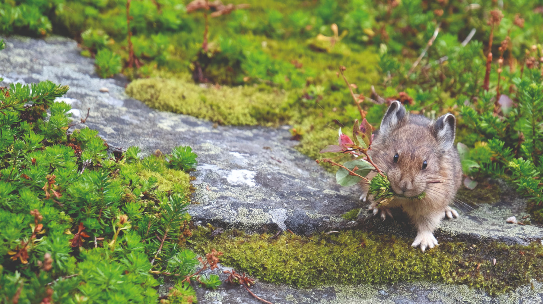
    The Rocky Mountain Natural Region stretches for over 700 km along Alberta’s western border covering approximately 49,000 km2 (7.4% of the province). This dramatic landscape features jagged mountain peaks, glaciers and snowfields, forest-covered mountain slopes, and an abundance of streams. The variation in terrain, climate, and latitude has created niches for a whole range of species. High altitude alpine meadows are blanketed by dwarf shrubs, grasses, and flowering plants, which support species like the Gray-crowned Rosy Finch, American Pipit, Hoary Marmot, and Grizzly Bear during the summer months. The rocky terrain is also hospitable for some species like the Mountain Goat and Pika. Moving down in elevation to the conifer-covered mountain slopes, Engelmann Spruce, Subalpine Fir, Lodgepole Pine, and White Spruce dominate in the canopy, while species like False Azalea, Bearberry, and Buffaloberry are commonly found in the understory. Bird diversity includes species found nowhere else in Alberta, such as the Varied Thrush, Clark’s Nutcracker and Townsend’s Warbler. Other characteristic species include the Wolverine, Woodland Caribou (Central Mountain Designatable Unit), Long-toed Salamander, and Westslope Cutthroat Trout.

    • Characteristic vertebrate species: Gray-crowned Rosy Finch, Varied Thrush, Clark’s Nutcracker, Townsend’s Warbler, Mountain Goat, Bighorn Sheep, Hoary Marmot, Pika, Grizzly Bear, Woodland Caribou (Central Mountain Designatable Unit), Long-toed Salamander, Westslope Cutthroat Trout
  • Species diversity

    Species diversity is the most well-known and easily recognized unit of biodiversity, refers to the variety of different species that occur in an area. Most biodiversity studies or monitoring programs (including the ABMI) measure the number of species at a site or in a particular habitat. 

Alberta Biodiversity Monitoring Institute Logo, Small

Alberta Biodiversity Monitoring Institute ©2014  All Rights Reserved     |  Privacy Policy |  Terms of Use |  Our Photos |  Glossary