Wildland Foundations
Categories: Habitat Recovery
Status: In Progress
About the Project
Fire risk mitigation in Indigenous communities.
Biodiversity Pathways and the ABMI are working with Fort Smith Métis Council, Lakeland Métis Nation, Foothills Ojibway First Nation, and Yaq̓it ʔa·knuqⱡi 'it First Nation to understand the impact of extreme wildfire and habitat restoration on Indigenous land use, wildlife, and forests in four demonstration sites.
As climates continue to warm, the intensity, size, and frequency of extreme fires impacting forests and communities across Canada will increase. Extreme fire events have catastrophic and lasting socioeconomic and environmental impacts to Indigenous communities and their lands, affecting livelihoods, food security, and cultural and spiritual practices.
Through a combination of Western science and Indigenous knowledge, this project’s activities and products will support community resilience in the face of extreme wildfire and environmental change.
- Biodiversity Pathways
- ABMI
- Fort Smith Métis Council
- Lakeland Métis Nation
- Foothills Ojibway First Nation
- Yaq̓it ʔa·knuqⱡi’it First Nation
The Wildland Foundations project is taking place in four demonstration sites with four community partners. We are working with:
- the Fort Smith Métis Council in the southern Northwest Territories along the Slave River
- Foothills Ojibway First Nation in the lower foothills of Alberta;
- Lakeland Métis Nation Association in the northeastern boreal forest of Alberta; and
- Yaq̓it ʔa·knuqⱡi‘it (or Tobacco Plains) First Nation in the Galton mountain range in southeastern British Columbia.
The three demonstration sites in Alberta and the Northwest Territories have recently experienced extreme wildfire. Our role at the ABMI is to:
- Co-develop data collection programs with Indigenous community partners
- Collect field and geospatial data, such as lidar, to support measuring the impact of fires on wildlife and forest habitats
- Support communities in knowledge-sharing and -generating activities
- Ensure the priorities and data sovereignty of community partners are upheld and respected throughout each stage of the work.
At the fourth demonstration site in southeastern British Columbia (BC), our national affiliate Biodiversity Pathways is supporting research and adaptive management practices led by Yaq̓it ʔa·knuqⱡi’it First Nation (YFN). The goal is to restore culturally important habitat and reduce the risk of high-severity wildfire in areas where past traditional burn practices have been excluded for over a century. The Wildland Foundations project is one piece of a mosaic of work led by YFN and the Government of BC to restore ecosystems and reduce wildfire risk in the traditional territory of YFN.
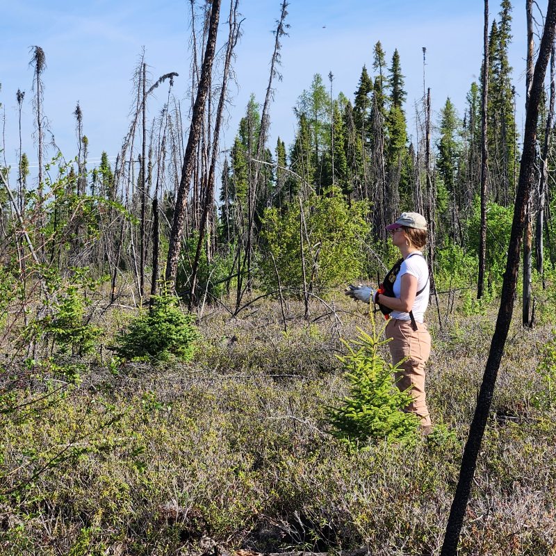
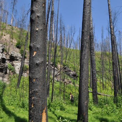
Photo: Burned site field work. Credit: D. Ewasiw
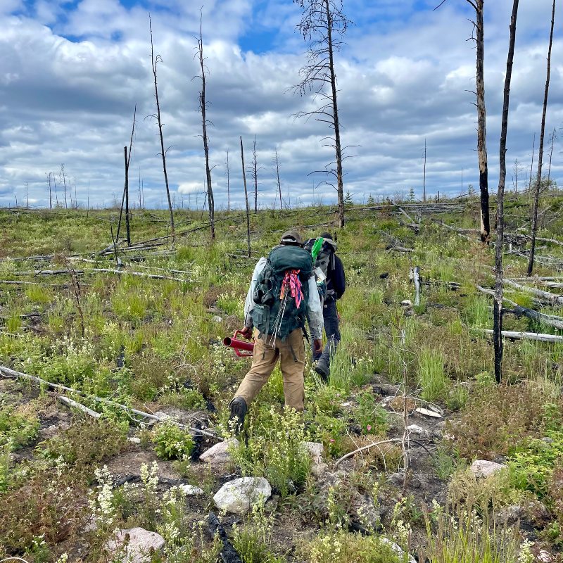
Photo: Field techs travelling through burned area. Credit: H. Ayme
Field Programs
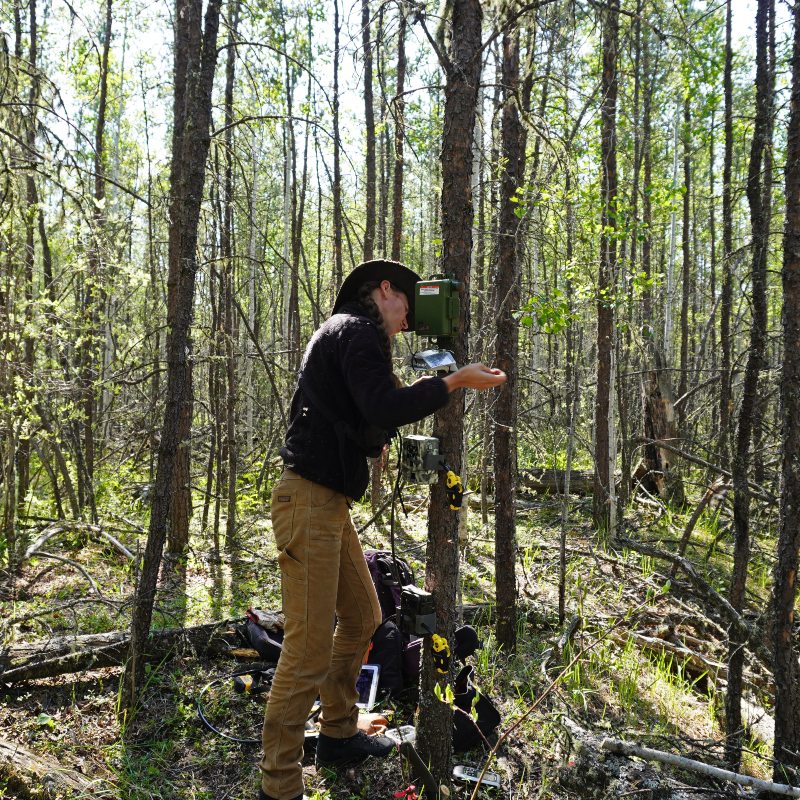
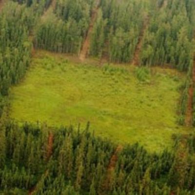
Field crews from the ABMI’s Monitoring Centre are collecting information on wildlife and forest habitats in burned and unburned areas. Information on wildlife is collected using remote cameras and autonomous recording units (ARUs) left out over long periods of time. We are also collecting ground-truthing information on forest structure to help map and understand the landscape from a wildfire perspective, such as fuel loading and wildfire risk. Lastly, we are working with our community partners to develop protocols and products for culturally important plants and their response to wildfire.
Geospatial Programs
Lidar data is being collected in the three demonstration sites that have recently experienced extreme wildfires. Lidar data will be used in project-specific products, such as modelling fuel loading and fire hazard and exposure mapping, and support habitat mapping.
Photo credit: K. Tereschyn
The information gathered through the Wildland Foundations project provides the “foundation” for identifying recommendations to reduce the impacts of wildfire on people, places, and wildlife and support the return of Indigenous stewardship practices.
The Wildland Foundations project is a 3.5 year project funded by Natural Resources Canada through the Wildfire Resilient Futures Initiative. “Demonstration sites” are a Natural Resources Canada (NRCan)-funded initiative: place-based partnerships to test and showcase innovative adaptive vegetation management and forestry practices in an operational context.
The Biodiversity Trajectories (BDT) project is a multi-year, collaborative project between the ABMI and seven forestry companies in Alberta.

This multi-year program is designed to track and quantify forest regeneration across disturbed landscapes such as seismic lines, wellsites, pipelines, cutlines, and roads, with a particular focus on Alberta’s Oil Sands Region and in caribou range.
The ABMI’s Ecological Recovery Monitoring (ERM) project assesses ecological recovery of certified reclaimed oil and gas wellsites.