Habitat Inventory for the Richardson Caribou Range
Categories: Geospatial and Remote Sensing
Status: Completed
About the Project
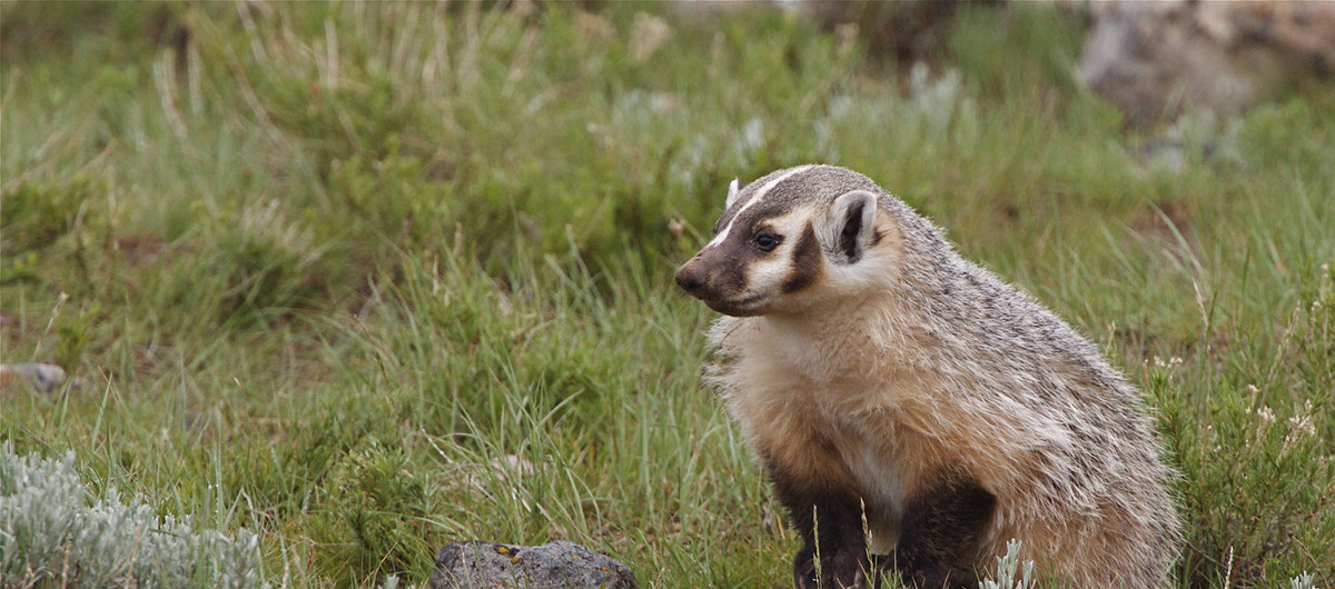
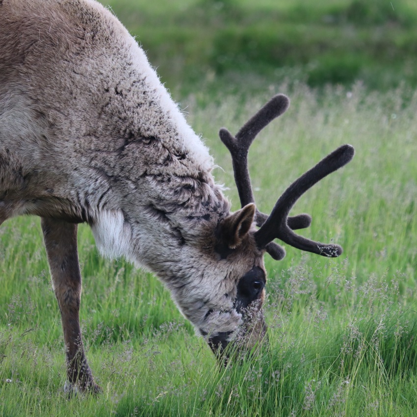
The federal recovery strategy for Woodland Caribou outlines that caribou ranges must have and maintain a minimum of 65% undisturbed habitat, both in terms of human footprint and wildfires (Environment Canada, 2012). The majority of caribou ranges across Alberta do not meet this target.
Habitat restoration is a priority under the federal recovery strategy to minimize caribou declines, and restore legacy human footprint features such as seismic lines is of particular importance in Alberta. Planning effective restoration requires us to understand the current state of vegetation on human footprint features. This information helps planners identify the areas in greatest need of restoration actions or where regeneration is occurring naturally. In 2021, the ABMI received funding from the Caribou Habitat Recovery Program (CHRP) through the Forest Resource Improvement Association of Alberta (FRIAA) to create a detailed vegetation inventory along linear features for the Richardson caribou range in northeastern Alberta.
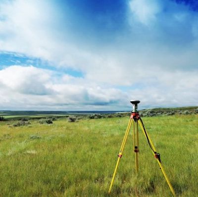
We acquired high-resolution 15-cm aerial imagery in the Richardson caribou range in the fall of 2022 to develop a detailed vegetation inventory along linear features.
The imagery was used to create orthophoto mosaics and 3D point clouds. 3D point cloud data, generated using high-end photogrammetric software, can be used to determine individual tree top heights and locations and thus create a canopy height model. A combination of Forest Line Mapper and manual digitization were used to correct seismic line features in the ABMI’s human footprint dataset. This tool was developed by the Boreal Ecosystem Recovery and Assessment (BERA) program through the Applied Geospatial Research Group at the University of Calgary to improve the mapping and attribution of information to linear disturbances in forests.
Using the guiding principles of the Government of Alberta’s Provincial Restoration and Establishment Framework for Legacy Seismic Lines in Alberta (Government of Alberta, 2018), we used the aerial imagery along with existing and recently developed geospatial products to categorize line segments into one of three “actions”: treatment, advanced regeneration, and project exclusions. All linear features were also assigned an ecosite, line width, line orientation, and year of origin. Tree heights and cover were assessed in all areas identified as advanced regeneration.
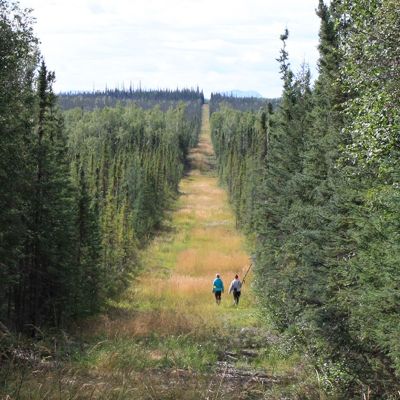
Field crews visited the Richardson range in 2021 and 2022 to gather data for “ground truthing.” Crews collected photographs, measurements, and species identifications of the dominant vegetation to validate imagery interpretation, as well as photographs and videos while travelling along linear features. Additional data from project partners, provided in kind, was used to supplement field data for training and verification.
Meaningful participation of Indigenous communities and collaboration with numerous researchers and stakeholders are key to the success of this project. Initial meetings were to inform interested Indigenous communities of the work and more detailed engagement sessions occurred with several communities. Project partners include Alberta-Pacific Forest Industries, Dr. Erin Bayne (University of Alberta), Dr. Greg McDermid and the Boreal Ecosystem Recovery and Assessment program (University of Calgary), Suncor Energy, and Cenovus Energy.
This project will support efforts to improve caribou habitat in a manner that supports self-sustaining caribou populations. A final report is planned for the near future.
This project focuses on the development of satellite remote sensing algorithms for mapping and monitoring cyanobacterial algal blooms in popular recreational lakes in Alberta.
This work will collaboratively build capacity to support land management decision-making that aligns with community priorities.
BERA focuses on understanding the effects of industrial disturbance on natural ecosystem dynamics in the boreal forest, and developing strategies for restoring disturbed landscapes in a system that is under pressure from climate change.