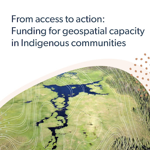
From Access to Action: Funding to Build Geospatial Capacity within Indigenous Communities
Categories: Geospatial and Remote Sensing
Status: In Progress
About the Project
Over the next few years, we are excited to be co-developing programs to build geospatial capacity with Indigenous partners in Alberta.
Thanks to financial support from the Commission of Environmental Cooperation and the Alberta Ecotrust Foundation, we will be working with the Institute of Prairie and Indigenous Archaeology, Lakeland Métis Nation, and Foothills Ojibway First Nation to co-develop education programs and support systems that empower Indigenous communities to harness the power of geospatial data and tools.
- Institute of Prairie and Indigenous Archaeology
--> Facebook
--> Bluesky
--> Instagram - Lakeland Métis Nation
- Foothills Ojibway First Nation
- The Commission for Environmental Cooperation (CEC)
- Alberta Ecotrust Foundation
Over the next two years, we will work together to:
- Understand each community’s capacity and needs around the use of geospatial data for climate change adaptation planning, such as wildfire risk management
- Co-develop and run educational programs that empower community staff and members to use geospatial data for their own benefit
- Provide dedicated technical support for the length of the project in data exploration
- Create maps that address planning and monitoring needs
- Share and distribute knowledge and training materials to support additional communities
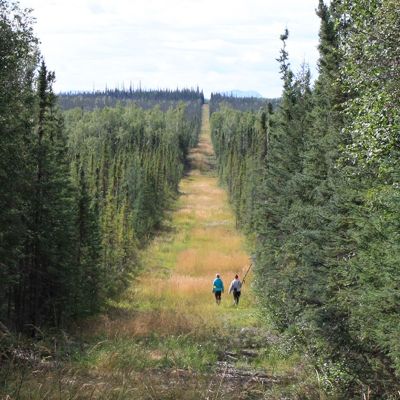
Increasingly, high-quality geospatial data are being collected across large areas. However, one of the largest barriers to equitable participation in land management and climate change adaptation planning is understanding how these novel data sets can be harnessed to support community interests.
This work will collaboratively build capacity to support land management decision-making that aligns with community priorities. By co-developing programs and providing ongoing technical support, the project empowers Indigenous partners to utilize geospatial data. This enhanced capacity supports climate adaptation, wildfire risk management and Indigenous-led environmental monitoring.
Main Photo: Stephanie Halmhofer
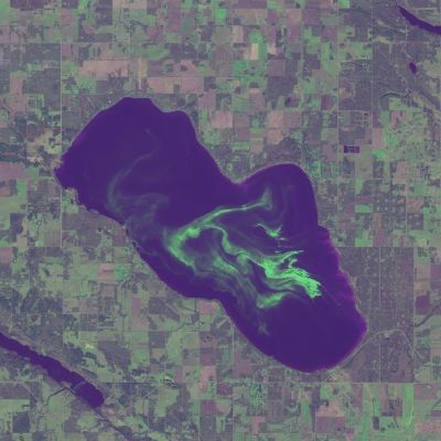
This project focuses on the development of satellite remote sensing algorithms for mapping and monitoring cyanobacterial algal blooms in popular recreational lakes in Alberta.
BERA focuses on understanding the effects of industrial disturbance on natural ecosystem dynamics in the boreal forest, and developing strategies for restoring disturbed landscapes in a system that is under pressure from climate change.
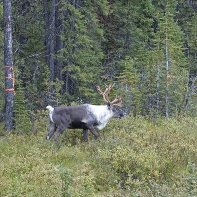
This project focuses on tracking habitat loss, gain, and change over time.